Upper Hutt Suburbs & Region, Upper Hutt Map & Postcodes in Upper Hutt City, Wellington
Upper Hutt Postcodes, Upper Hutt ZipCodes, Upper Hutt , Upper Hutt Wellington, Upper Hutt Suburbs, Upper Hutt Region, Upper Hutt Map, Upper Hutt Area
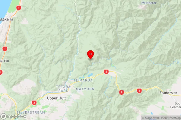
Upper Hutt Region
Upper Hutt Suburbs
Upper Hutt is a city place type in Upper Hutt City, Wellington, NZ. It contains 28 suburbs or localities.Upper Hutt Region Map
Upper Hutt Introduction
Upper Hutt is a city in the Wellington region of New Zealand, located on the banks of the Hutt River. It is known for its vibrant community, historic architecture, and proximity to natural attractions such as the Rimutaka Range and the Wellington Botanic Garden. Upper Hutt has a population of around 50,000 people and is home to a variety of businesses, including technology companies, manufacturing firms, and retail outlets. The city is also home to a number of cultural institutions, including the Upper Hutt City Library, the Michael Fowler Centre, and the Stout Theatre.Upper Hutt Region
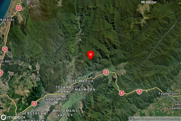
Upper Hutt Satellite Map
Full Address
Upper Hutt City, WellingtonUpper Hutt Coordinates
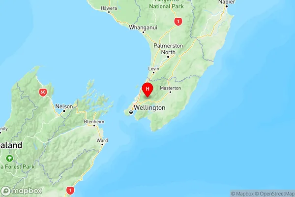
-41.0583601,175.1479364 (Latitude / Longitude)Upper Hutt Map in NZ
NZ Island
North IslandCountry
Upper Hutt Suburbs (Sort by Population)
Upper Hutt Suburbs (Sort in alphabetical)
Akatarawa
Birchville
Blue Mountains
Brown Owl
Clouston Park
Craigs Flat
Ebdentown
Elderslea
Heretaunga
Kaitoke
Kingsley Heights
Mangaroa
Maoribank
Maymorn
Moonshine Valley
Mount Marua
Pakuratahi
Pinehaven
Rimutaka Hill
Riverstone Terraces
Silverstream
Te Marua
Timberlea
Totara Park
Trentham
Upper Hutt
Wallaceville
Whitemans Valley