Pakuratahi Suburbs & Region, Pakuratahi Map & Postcodes in Pakuratahi, Upper Hutt City, Wellington
Pakuratahi Postcodes, Pakuratahi ZipCodes, Pakuratahi , Pakuratahi Wellington, Pakuratahi Suburbs, Pakuratahi Region, Pakuratahi Map, Pakuratahi Area
Pakuratahi Region (Cloustonville, Pakuratahi Region)
Pakuratahi Suburbs
Pakuratahi is a suburb place type in Upper Hutt City, Wellington, NZ. It contains 0 suburbs or localities.Pakuratahi Region Map
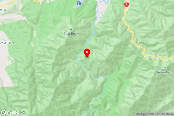
Pakuratahi Introduction
Pakuratahi is a suburb of Wellington, New Zealand, located on the southern coast of the North Island. It is known for its stunning coastal views, peaceful atmosphere, and vibrant community. The suburb is home to a variety of housing options, including apartments, townhouses, and single-family homes. It is also home to a number of parks and recreational facilities, including the Pakuratahi Beach Reserve and the Pakuratahi Golf Club. The suburb is well-connected to other parts of Wellington via public transportation, and it is only a short drive from the city center.Pakuratahi Region
Pakuratahi City
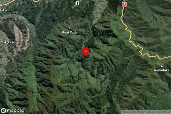
Pakuratahi Satellite Map
Full Address
Pakuratahi, Upper Hutt City, WellingtonPakuratahi Coordinates
-41.1149052,175.1842166 (Latitude / Longitude)Pakuratahi Map in NZ
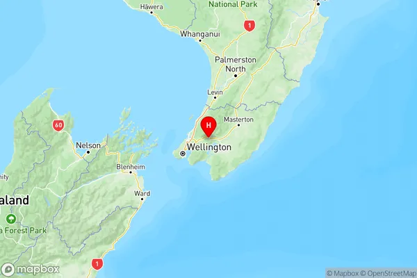
NZ Island
North IslandCountry
Pakuratahi Area Map (Polygon)
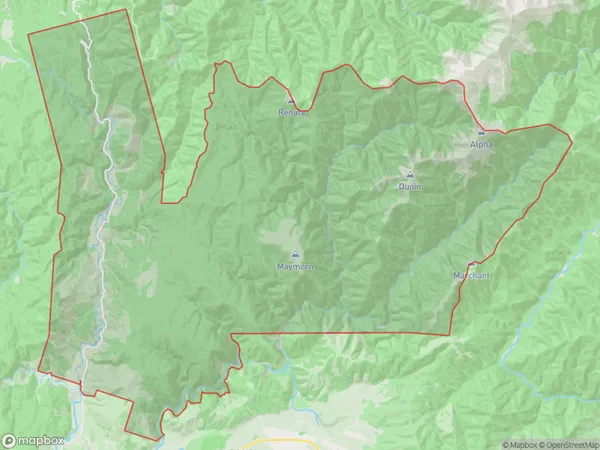
Name
Akatarawa ValleyAdditional Name
Cloustonville, PakuratahiLocal Authority
Upper Hutt City
Pakuratahi Suburbs (Sort by Population)
Akatarawa Valley also known as Cloustonville, Pakuratahi. Akatarawa Valley suburb has around
168.4 square
kilometers.There are more than 244 people (estimated)
live in Akatarawa Valley, Upper Hutt, Wellington, New Zealand.