Akatarawa Valley Area, Akatarawa Valley Postcode & Map in Akatarawa Valley
Akatarawa Valley Area, Akatarawa Valley Postcode & Map in Akatarawa Valley, Upper Hutt City,
Akatarawa Valley, Upper Hutt City,
Akatarawa Valley Area (estimated)
168.4 square kilometersAkatarawa Valley Population (estimated)
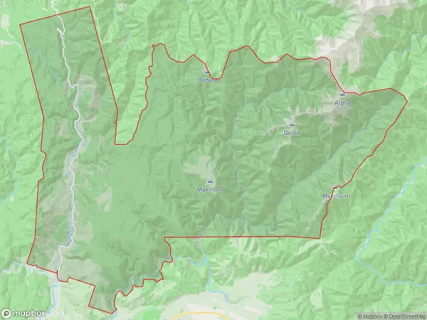
244 people live in Akatarawa Valley, Upper Hutt, NZAkatarawa Valley Suburb Area Map (Polygon)
Akatarawa Valley Introduction
Akatarawa Valley is a picturesque valley located in Upper Hutt, Wellington, New Zealand. It is known for its lush green forests, tranquil waterways, and stunning mountain views. The valley is a popular destination for outdoor activities such as hiking, cycling, and picnicking, and is home to a variety of wildlife, including native birds and animals. The Akatarawa Forest Park, which covers much of the valley, is a protected area that offers visitors a chance to experience the natural beauty of the region.Region
Major City
Suburb Name
Akatarawa ValleyOther Name(s)
Cloustonville, PakuratahiAkatarawa Valley Area Map (Street)
Local Authority
Upper Hutt CityFull Address
Akatarawa Valley, Upper Hutt City,Address Type
Suburb in City Upper HuttAkatarawa Valley Suburb Map (Satellite)
Country
Main Region in AU
WellingtonAkatarawa Valley Region Map
Coordinates
0,0 (latitude/longitude)Distances
The distance from Akatarawa Valley, Upper Hutt, Upper Hutt City to NZ Top 10 Cities