Clouston Park Suburbs & Region, Clouston Park Map & Postcodes in Clouston Park, Upper Hutt City, Wellington
Clouston Park Postcodes, Clouston Park ZipCodes, Clouston Park , Clouston Park Wellington, Clouston Park Suburbs, Clouston Park Region, Clouston Park Map, Clouston Park Area
Clouston Park Region
Clouston Park Suburbs
Clouston Park is a suburb place type in Upper Hutt City, Wellington, NZ. It contains 0 suburbs or localities.Clouston Park Postcodes
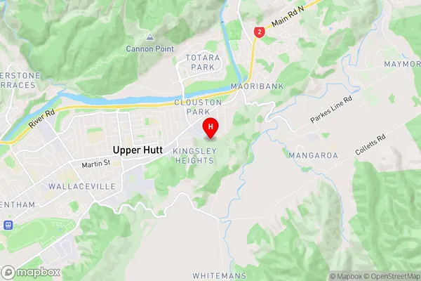
Clouston Park Region Map
Clouston Park Introduction
Clouston Park is a park located in Wellington, New Zealand, and is named after Sir George Grey, the fourth Governor-General of New Zealand. The park is home to a variety of plants and animals, including the Clouston's parrot, which is endemic to New Zealand. The park also features a playground, a picnic area, and a walking track that leads to the top of the park's hill. The park was established in 1860 and is one of Wellington's oldest parks.Clouston Park Region
Clouston Park City
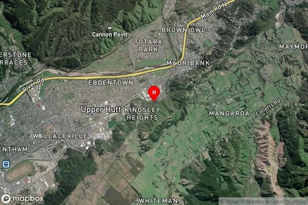
Clouston Park Satellite Map
Full Address
Clouston Park, Upper Hutt City, WellingtonClouston Park Coordinates
-41.122337,175.087746 (Latitude / Longitude)Clouston Park Map in NZ
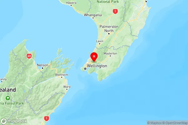
NZ Island
North IslandCountry
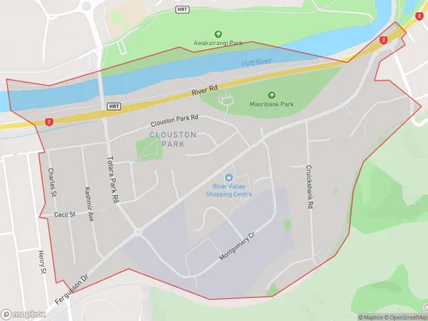
Clouston Park Area Map (Polygon)
Name
Clouston ParkAdditional Name
Local Authority
Upper Hutt City
Clouston Park Suburbs (Sort by Population)
Clouston Park suburb has around
1.5 square
kilometers.There are more than 2505 people (estimated)
live in Clouston Park, Upper Hutt, Wellington, New Zealand.