Clouston Park Area, Clouston Park Postcode(6007) & Map in Clouston Park
Clouston Park Area, Clouston Park Postcode(6007) & Map in Clouston Park, Upper Hutt City, New Zealand
Clouston Park, Upper Hutt City, New Zealand
Clouston Park Area (estimated)
1.5 square kilometersClouston Park Population (estimated)
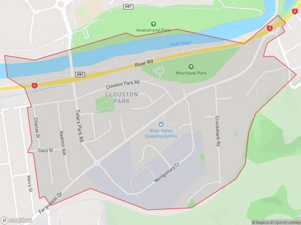
2505 people live in Clouston Park, Upper Hutt, NZClouston Park Suburb Area Map (Polygon)
Clouston Park Introduction
Clouston Park is a large park in Upper Hutt, Wellington, New Zealand. It has a variety of recreational facilities, including a playground, a skate park, a basketball court, and a cricket pitch. The park also has a large pond and a walking track that circles the pond. The park was established in 1906 and is named after the Clouston family, who were prominent local landowners.Region
Major City
Suburb Name
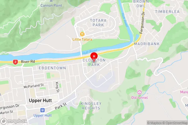
Clouston ParkClouston Park Area Map (Street)
Local Authority
Upper Hutt CityFull Address
Clouston Park, Upper Hutt City, New ZealandAddress Type
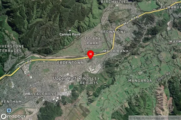
Suburb in City Upper HuttClouston Park Suburb Map (Satellite)
Country
Main Region in AU
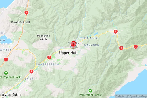
WellingtonClouston Park Region Map
Coordinates
-41.1162141,175.0846622 (latitude/longitude)Distances
The distance from Clouston Park, Upper Hutt, Upper Hutt City to NZ Top 10 Cities