Elderslea Suburbs & Region, Elderslea Map & Postcodes in Elderslea, Upper Hutt City, Wellington
Elderslea Postcodes, Elderslea ZipCodes, Elderslea , Elderslea Wellington, Elderslea Suburbs, Elderslea Region, Elderslea Map, Elderslea Area
Elderslea Region
Elderslea Suburbs
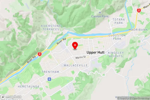
Elderslea is a suburb place type in Upper Hutt City, Wellington, NZ. It contains 0 suburbs or localities.Elderslea Region Map
Elderslea Introduction
Elderslea is a small rural community located in the Wairarapa region of New Zealand's North Island. It is situated approximately 30 kilometers south of Masterton and 100 kilometers north of Wellington. The area is known for its scenic countryside, rolling hills, and peaceful atmosphere, making it a popular destination for those seeking a rural lifestyle. The community has a small population of around 100 people, with a mix of farming and lifestyle properties. There is a local primary school, a post office, and a community hall, which hosts regular events and gatherings. The area is surrounded by beautiful farmland and is popular with outdoor enthusiasts, including walkers, cyclists, and hunters.Elderslea Region
Elderslea City
Elderslea Satellite Map

Full Address
Elderslea, Upper Hutt City, WellingtonElderslea Coordinates
-41.122854,175.055841 (Latitude / Longitude)Elderslea Map in NZ
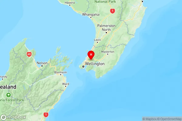
NZ Island
North IslandCountry
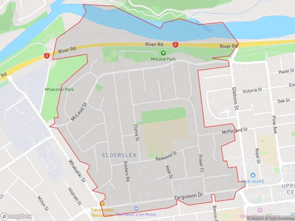
Elderslea Area Map (Polygon)
Name
EldersleaAdditional Name
Local Authority
Upper Hutt City
Elderslea Suburbs (Sort by Population)
Elderslea suburb has around
1.6 square
kilometers.There are more than 3070 people (estimated)
live in Elderslea, Upper Hutt, Wellington, New Zealand.