Elderslea Area, Elderslea Postcode(5018) & Map in Elderslea
Elderslea Area, Elderslea Postcode(5018) & Map in Elderslea, Upper Hutt City, New Zealand
Elderslea, Upper Hutt City, New Zealand
Elderslea Postcodes
Elderslea Area (estimated)
1.6 square kilometersElderslea Population (estimated)
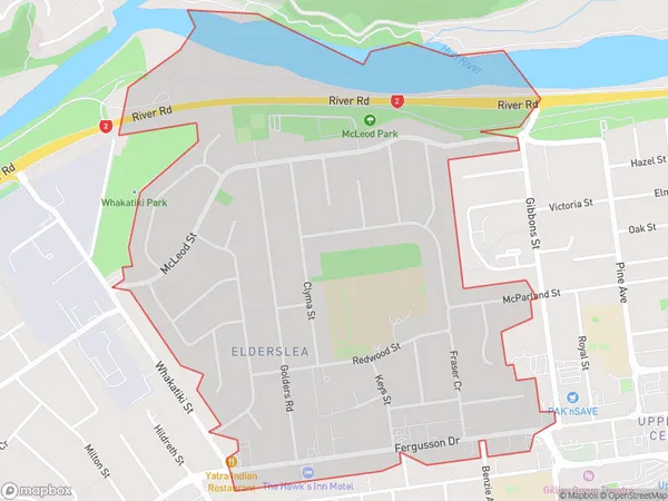
3070 people live in Elderslea, Upper Hutt, NZElderslea Suburb Area Map (Polygon)
Elderslea Introduction
Elderslea is a suburb of Upper Hutt, Wellington, New Zealand. It is located on the southern side of the Hutt River, approximately 5 km from the city center. The suburb has a mix of residential and commercial areas, with a population of around 2,000 people. Elderslea has a community center, a library, and a variety of shops and restaurants. The area is known for its scenic views and peaceful atmosphere, and is popular with families and young professionals.Region
Major City
Suburb Name
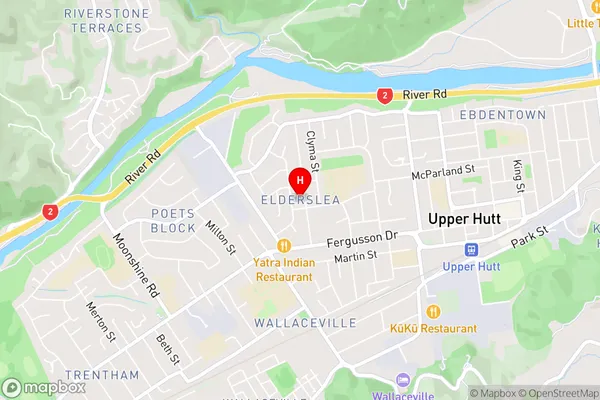
EldersleaElderslea Area Map (Street)
Local Authority
Upper Hutt CityFull Address
Elderslea, Upper Hutt City, New ZealandAddress Type
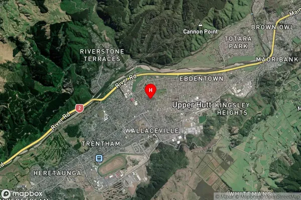
Suburb in City Upper HuttElderslea Suburb Map (Satellite)
Country
Main Region in AU
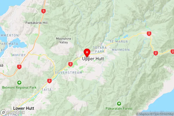
WellingtonElderslea Region Map
Coordinates
-41.1228536,175.0558407 (latitude/longitude)Distances
The distance from Elderslea, Upper Hutt, Upper Hutt City to NZ Top 10 Cities