Mangaroa Suburbs & Region, Mangaroa Map & Postcodes in Mangaroa, Upper Hutt City, Wellington
Mangaroa Postcodes, Mangaroa ZipCodes, Mangaroa , Mangaroa Wellington, Mangaroa Suburbs, Mangaroa Region, Mangaroa Map, Mangaroa Area
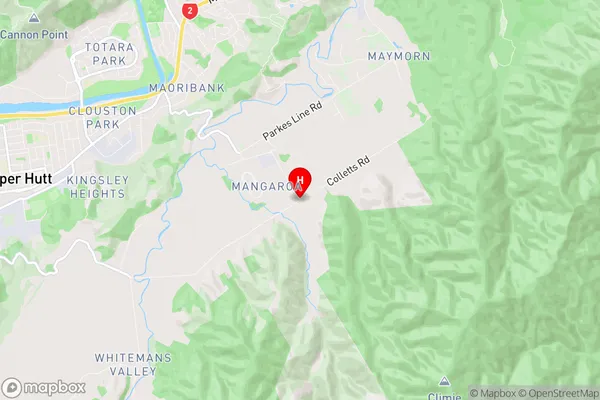
Mangaroa Region
Mangaroa Suburbs
Mangaroa is a suburb place type in Upper Hutt City, Wellington, NZ. It contains 0 suburbs or localities.Mangaroa Region Map
Mangaroa Introduction
Mangaroa is a small coastal village located in the southern region of Wellington, New Zealand. It is known for its stunning natural beauty, including rugged cliffs, sandy beaches, and crystal-clear waters. The village has a population of around 200 people and is surrounded by lush green farmland and picturesque landscapes. Mangaroa is a popular destination for outdoor enthusiasts, with many hiking trails, cycling routes, and fishing spots nearby. The village also has a community hall, a small grocery store, and a post office.Mangaroa Region
Mangaroa City
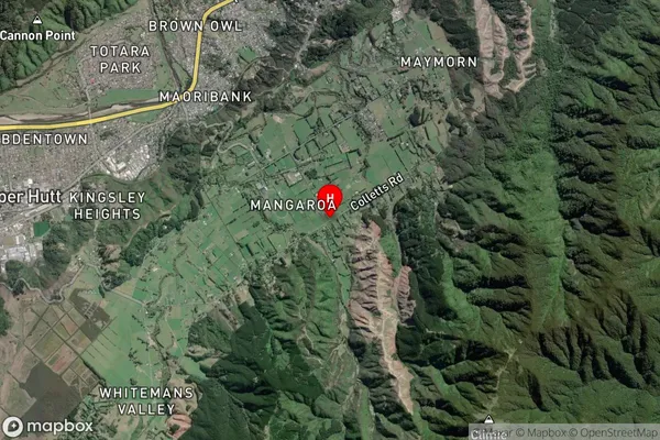
Mangaroa Satellite Map
Full Address
Mangaroa, Upper Hutt City, WellingtonMangaroa Coordinates
-41.1268459,175.1185988 (Latitude / Longitude)Mangaroa Map in NZ
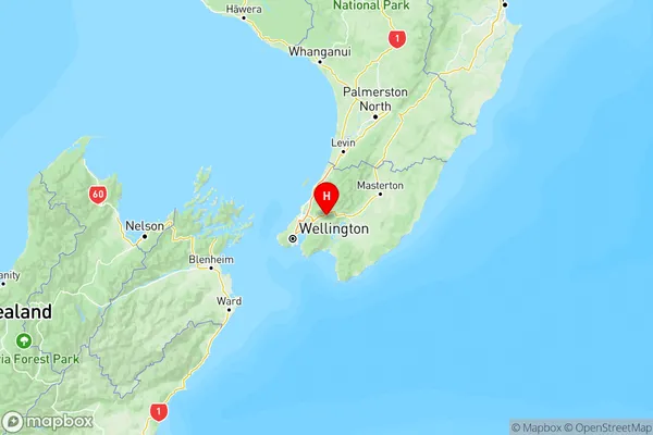
NZ Island
North IslandCountry
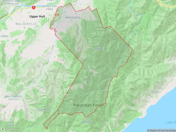
Mangaroa Area Map (Polygon)
Name
MangaroaAdditional Name
Local Authority
Upper Hutt City
Mangaroa Suburbs (Sort by Population)
Mangaroa suburb has around
62.0 square
kilometers.There are more than 520 people (estimated)
live in Mangaroa, Upper Hutt, Wellington, New Zealand.