Mangaroa Area, Mangaroa Postcode(6007) & Map in Mangaroa
Mangaroa Area, Mangaroa Postcode(6007) & Map in Mangaroa, Upper Hutt City, New Zealand
Mangaroa, Upper Hutt City, New Zealand
Mangaroa Postcodes
Mangaroa Area (estimated)
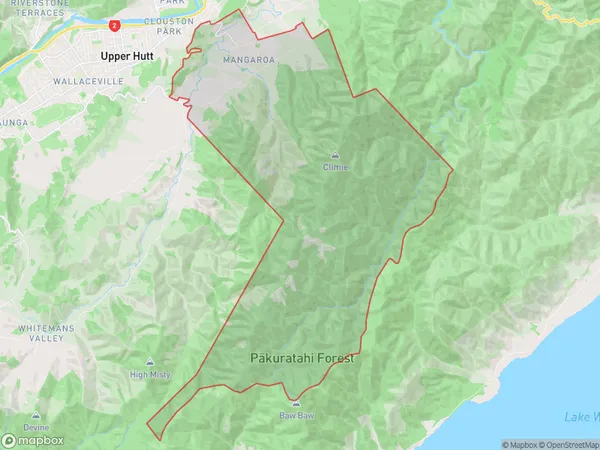
62.0 square kilometersMangaroa Population (estimated)
520 people live in Mangaroa, Upper Hutt, NZMangaroa Suburb Area Map (Polygon)
Mangaroa Introduction
Mangaroa is a suburb of Upper Hutt, Wellington, New Zealand. It is located on the southern shore of the Hutt River and is known for its scenic views, beaches, and recreational facilities. The area has a population of around 1,000 people and is popular with families and outdoor enthusiasts. It is also home to a significant Maori population and has a rich cultural heritage.Region
Major City
Suburb Name
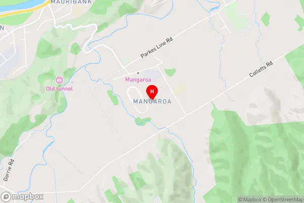
MangaroaMangaroa Area Map (Street)
Local Authority
Upper Hutt CityFull Address
Mangaroa, Upper Hutt City, New ZealandAddress Type
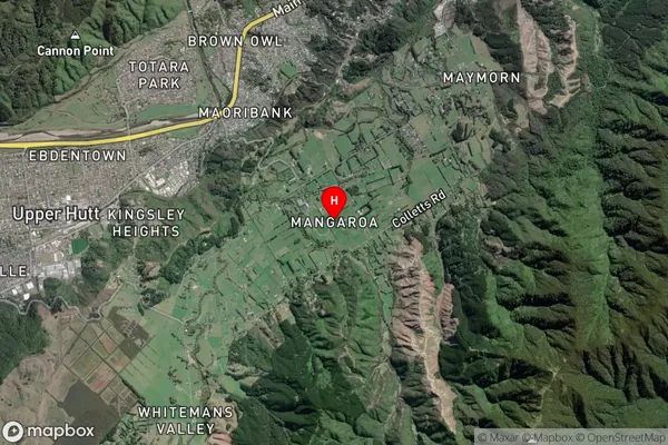
Suburb in City Upper HuttMangaroa Suburb Map (Satellite)
Country
Main Region in AU
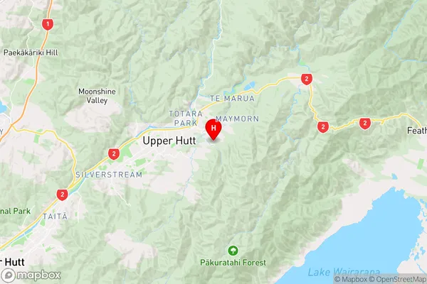
WellingtonMangaroa Region Map
Coordinates
-41.1251099,175.112822 (latitude/longitude)Distances
The distance from Mangaroa, Upper Hutt, Upper Hutt City to NZ Top 10 Cities