Kaitoke Suburbs & Region, Kaitoke Map & Postcodes in Kaitoke, Upper Hutt City, Wellington
Kaitoke Postcodes, Kaitoke ZipCodes, Kaitoke , Kaitoke Wellington, Kaitoke Suburbs, Kaitoke Region, Kaitoke Map, Kaitoke Area
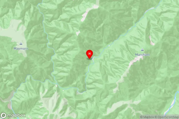
Kaitoke Region (Pakuratahi Region)
Kaitoke Suburbs
Kaitoke is a suburb place type in Upper Hutt City, Wellington, NZ. It contains 0 suburbs or localities.Kaitoke Postcodes
Kaitoke Region Map
Kaitoke Introduction
Kaitoke is a suburb in Wellington, New Zealand, located on the southwestern coast of the North Island. It is known for its scenic views, including the Kaitoke Gorge, a popular hiking and picnic spot. The suburb is also home to the Kaitoke Regional Park, which covers over 1,000 hectares of land and offers a range of outdoor activities such as walking, cycling, and horse riding. Kaitoke is well-connected to the city center by public transport, with regular buses and trains running through the area. The suburb has a diverse population, with a mix of young professionals and families. It is also home to several cultural institutions, including the Wellington Chinese Community Centre and the Wellington Japanese School.Kaitoke Region
Kaitoke City
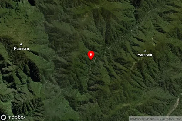
Kaitoke Satellite Map
Full Address
Kaitoke, Upper Hutt City, WellingtonKaitoke Coordinates
-41.029738,175.235852 (Latitude / Longitude)Kaitoke Map in NZ
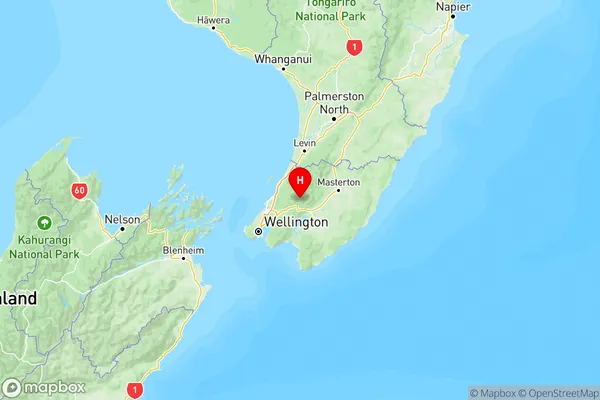
NZ Island
North IslandCountry
Kaitoke Area Map (Polygon)
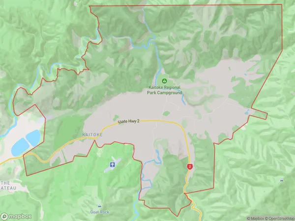
Name
KaitokeAdditional Name
PakuratahiLocal Authority
Upper Hutt City
Kaitoke Suburbs (Sort by Population)
Kaitoke also known as Pakuratahi. Kaitoke suburb has around
38.3 square
kilometers.There are more than 414 people (estimated)
live in Kaitoke, Upper Hutt, Wellington, New Zealand.