Kaitoke Area, Kaitoke Postcode(5372) & Map in Kaitoke
Kaitoke Area, Kaitoke Postcode(5372) & Map in Kaitoke, Upper Hutt City, New Zealand
Kaitoke, Upper Hutt City, New Zealand
Kaitoke Postcodes
Kaitoke Area (estimated)
38.3 square kilometersKaitoke Population (estimated)
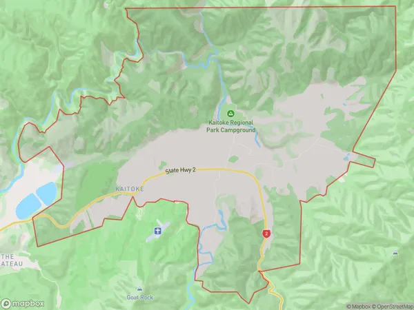
414 people live in Kaitoke, Upper Hutt, NZKaitoke Suburb Area Map (Polygon)
Kaitoke Introduction
Kaitoke, Upper Hutt, Wellington, NZ, is a suburb with a rich cultural heritage and a vibrant community. It is known for its beautiful parks, gardens, and recreational facilities, including the Kaitoke Regional Park and the Upper Hutt City Library. The suburb has a diverse population and is home to many immigrants and refugees from around the world. Kaitoke also has a strong sense of community spirit and is known for its annual events, such as the Kaitoke Festival and the Diwali Festival.Region
Major City
Suburb Name
KaitokeOther Name(s)
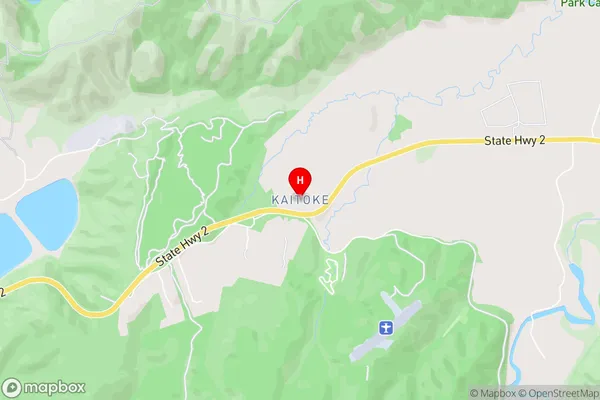
PakuratahiKaitoke Area Map (Street)
Local Authority
Upper Hutt CityFull Address
Kaitoke, Upper Hutt City, New ZealandAddress Type
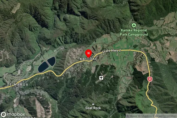
Suburb in City Upper HuttKaitoke Suburb Map (Satellite)
Country
Main Region in AU
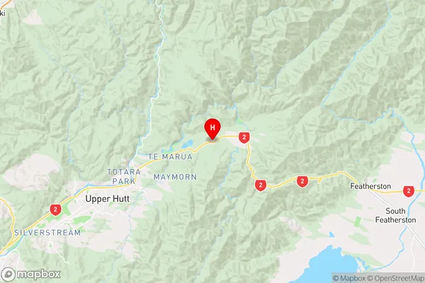
WellingtonKaitoke Region Map
Coordinates
-41.0822625,175.1719379 (latitude/longitude)Distances
The distance from Kaitoke, Upper Hutt, Upper Hutt City to NZ Top 10 Cities