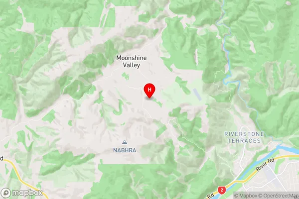
Moonshine Valley Suburbs & Region, Moonshine Valley Map & Postcodes in Moonshine Valley, Upper Hutt City, Wellington
Moonshine Valley Postcodes, Moonshine Valley ZipCodes, Moonshine Valley , Moonshine Valley Wellington, Moonshine Valley Suburbs, Moonshine Valley Region, Moonshine Valley Map, Moonshine Valley Area
Moonshine Valley Region (Maunganui Region)
Moonshine Valley Suburbs
Moonshine Valley is a suburb place type in Upper Hutt City, Wellington, NZ. It contains 0 suburbs or localities.Moonshine Valley Region Map

Moonshine Valley Introduction
Moonshine Valley is a small rural community located in the Wellington region of New Zealand. It is known for its scenic countryside, picturesque farms, and vibrant community spirit. The area is home to a number of historic buildings, including the Old Stables Cottage, which was built in the 1880s and is now a popular tourist attraction. Moonshine Valley is also home to a number of popular outdoor activities, including hiking, cycling, and fishing. The community is surrounded by beautiful natural scenery, including the Tararua Mountains and the Rimutaka Range, and is located just a short drive from the city of Wellington.Moonshine Valley Region
Moonshine Valley City
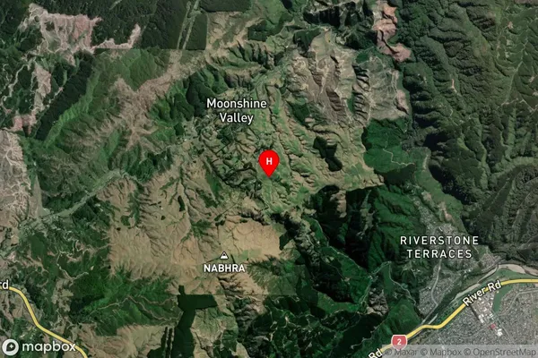
Moonshine Valley Satellite Map

Full Address
Moonshine Valley, Upper Hutt City, WellingtonMoonshine Valley Coordinates
-41.101418,175.00663 (Latitude / Longitude)Moonshine Valley Map in NZ

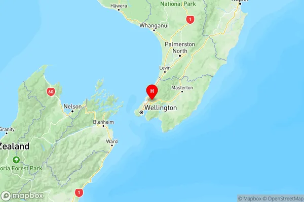
NZ Island
North IslandCountry
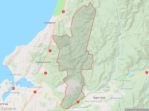
Moonshine Valley Area Map (Polygon)

Name
Moonshine ValleyAdditional Name
MaunganuiLocal Authority
Upper Hutt City
Moonshine Valley Suburbs (Sort by Population)
Moonshine Valley also known as Maunganui. Moonshine Valley suburb has around
112.8 square
kilometers.There are more than 217 people (estimated)
live in Moonshine Valley, Upper Hutt, Wellington, New Zealand.