Moonshine Valley Area, Moonshine Valley Postcode(5034) & Map in Moonshine Valley
Moonshine Valley Area, Moonshine Valley Postcode(5034) & Map in Moonshine Valley, Upper Hutt City, New Zealand
Moonshine Valley, Upper Hutt City, New Zealand
Moonshine Valley Postcodes
Moonshine Valley Area (estimated)
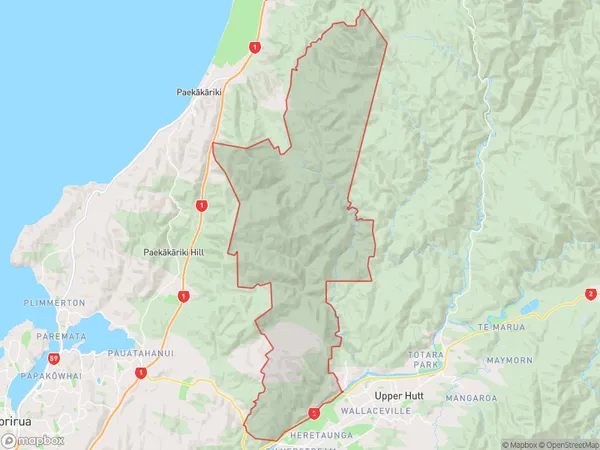
112.8 square kilometersMoonshine Valley Population (estimated)
217 people live in Moonshine Valley, Upper Hutt, NZMoonshine Valley Suburb Area Map (Polygon)
Moonshine Valley Introduction
Moonshine Valley is a suburban area in Upper Hutt, Wellington, New Zealand. It is known for its scenic views, walking trails, and recreational facilities. The area has a rich history of moonshine production and is home to a number of historic buildings and sites. Moonshine Valley is a popular destination for locals and tourists alike and is known for its peaceful and relaxed atmosphere.Region
Major City
Suburb Name
Moonshine ValleyOther Name(s)
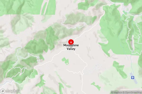
MaunganuiMoonshine Valley Area Map (Street)
Local Authority
Upper Hutt CityFull Address
Moonshine Valley, Upper Hutt City, New ZealandAddress Type
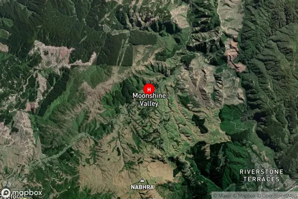
Locality in City Upper HuttMoonshine Valley Suburb Map (Satellite)
Country
Main Region in AU
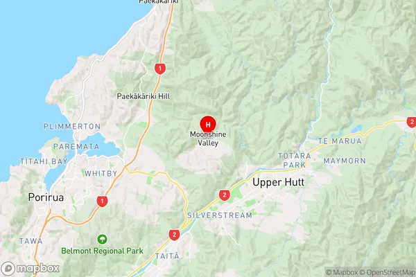
WellingtonMoonshine Valley Region Map
Coordinates
-41.0915143,175.0003779 (latitude/longitude)Distances
The distance from Moonshine Valley, Upper Hutt, Upper Hutt City to NZ Top 10 Cities