Timberlea Suburbs & Region, Timberlea Map & Postcodes in Timberlea, Upper Hutt City, Wellington
Timberlea Postcodes, Timberlea ZipCodes, Timberlea , Timberlea Wellington, Timberlea Suburbs, Timberlea Region, Timberlea Map, Timberlea Area
Timberlea Region (Mount Marua Region)
Timberlea Suburbs
Timberlea is a suburb place type in Upper Hutt City, Wellington, NZ. It contains 0 suburbs or localities.Timberlea Postcodes
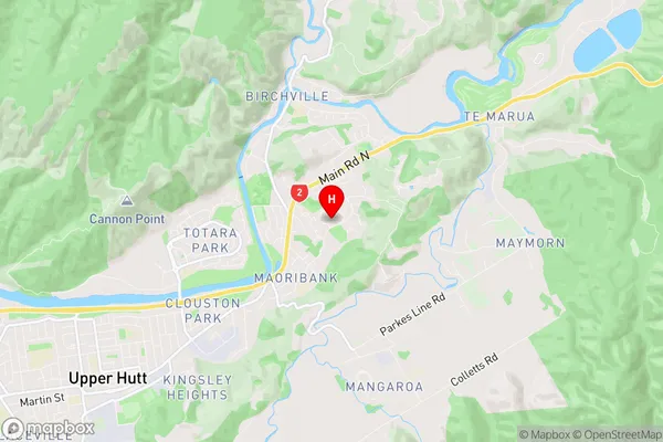
Timberlea Region Map
Timberlea Introduction
Timberlea is a suburb of Wellington, New Zealand, located in the eastern part of the city. It is known for its peaceful atmosphere, tree-lined streets, and well-maintained homes. The suburb is surrounded by green spaces, including the Timberlea Park and the Wellington Botanic Garden, and is popular with families and young professionals. Timberlea has a variety of shops and restaurants, as well as a community center and library. The area is well-connected to other parts of the city via public transportation, and is within walking distance of the Wellington CBD.Timberlea Region
Timberlea City
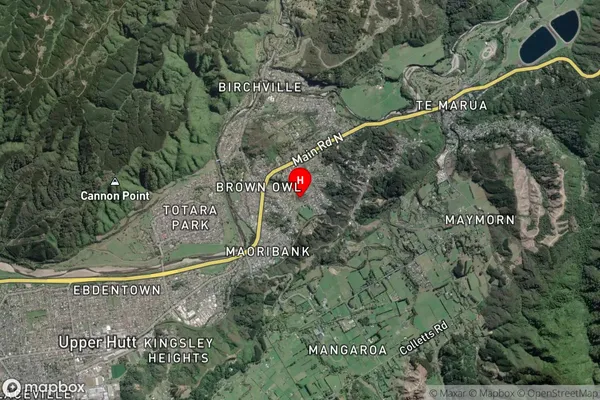
Timberlea Satellite Map
Full Address
Timberlea, Upper Hutt City, WellingtonTimberlea Coordinates
-41.105691,175.104696 (Latitude / Longitude)Timberlea Map in NZ
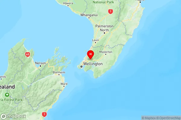
NZ Island
North IslandCountry
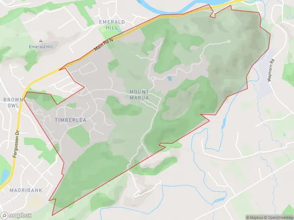
Timberlea Area Map (Polygon)
Name
TimberleaAdditional Name
Mount MaruaLocal Authority
Upper Hutt City
Timberlea Suburbs (Sort by Population)
Timberlea also known as Mount Marua. Timberlea suburb has around
3.4 square
kilometers.There are more than 1856 people (estimated)
live in Timberlea, Upper Hutt, Wellington, New Zealand.