Maidstone Area, Maidstone Postcode(5218) & Map in Maidstone
Maidstone Area, Maidstone Postcode(5218) & Map in Maidstone, Upper Hutt City, New Zealand
Maidstone, Upper Hutt City, New Zealand
Maidstone Area (estimated)
1.0 square kilometersMaidstone Population (estimated)
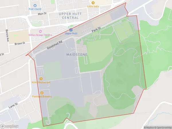
30 people live in Maidstone, Upper Hutt, NZMaidstone Suburb Area Map (Polygon)
Maidstone Introduction
Maidstone is a suburb of Upper Hutt, Wellington, New Zealand. It is located in the Hutt Valley and is known for its historic stone buildings and picturesque parks. The area was first settled in the 1840s and has since developed into a residential and commercial hub. Maidstone is home to a variety of shops, restaurants, and cultural institutions, including the Maidstone Museum and the Maidstone Theatre.Region
Major City
Suburb Name
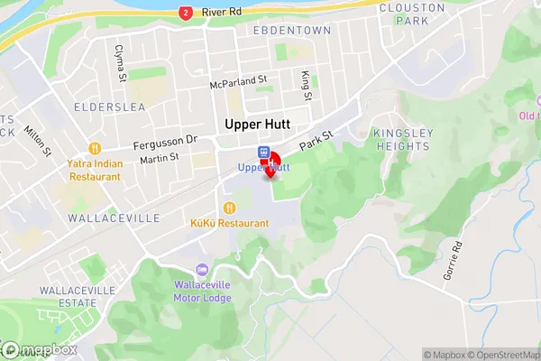
MaidstoneMaidstone Area Map (Street)
Local Authority
Upper Hutt CityFull Address
Maidstone, Upper Hutt City, New ZealandAddress Type
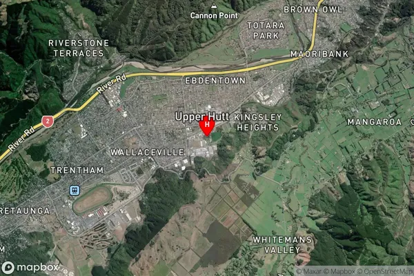
Suburb in City Upper HuttMaidstone Suburb Map (Satellite)
Country
Main Region in AU
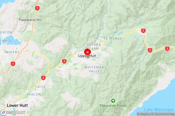
WellingtonMaidstone Region Map
Coordinates
-41.1281047,175.071195 (latitude/longitude)Distances
The distance from Maidstone, Upper Hutt, Upper Hutt City to NZ Top 10 Cities