Maoribank Area, Maoribank Postcode(6007) & Map in Maoribank
Maoribank Area, Maoribank Postcode(6007) & Map in Maoribank, Upper Hutt City, New Zealand
Maoribank, Upper Hutt City, New Zealand
Maoribank Area (estimated)
0.5 square kilometersMaoribank Population (estimated)
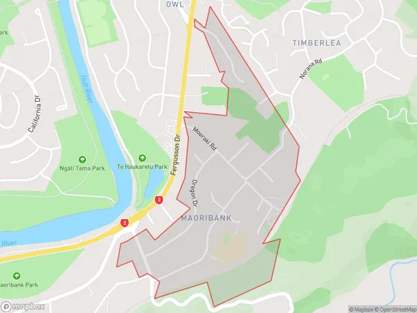
1188 people live in Maoribank, Upper Hutt, NZMaoribank Suburb Area Map (Polygon)
Maoribank Introduction
Maoribank is a historic bank building in Upper Hutt, Wellington, New Zealand. It was designed by Thomas Kirk and built in 1908-1909 in the Edwardian Baroque style. The building is significant as a well-preserved example of a bank building from this period, and it is also listed on the New Zealand Heritage List with a Category I designation.Region
Major City
Suburb Name
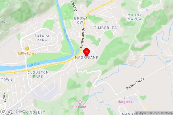
MaoribankMaoribank Area Map (Street)
Local Authority
Upper Hutt CityFull Address
Maoribank, Upper Hutt City, New ZealandAddress Type
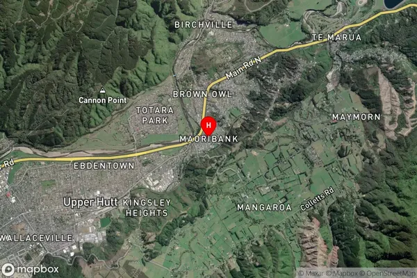
Suburb in City Upper HuttMaoribank Suburb Map (Satellite)
Country
Main Region in AU
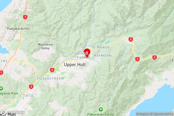
WellingtonMaoribank Region Map
Coordinates
-41.1123673,175.0990882 (latitude/longitude)Distances
The distance from Maoribank, Upper Hutt, Upper Hutt City to NZ Top 10 Cities