Ebdentown Area, Ebdentown Postcode(5218) & Map in Ebdentown
Ebdentown Area, Ebdentown Postcode(5218) & Map in Ebdentown, Upper Hutt City, New Zealand
Ebdentown, Upper Hutt City, New Zealand
Ebdentown Area (estimated)
1.3 square kilometersEbdentown Population (estimated)
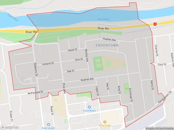
2810 people live in Ebdentown, Upper Hutt, NZEbdentown Suburb Area Map (Polygon)
Ebdentown Introduction
Ebdentown is a suburb of Upper Hutt, Wellington, New Zealand. It is located on the southern side of the Hutt River, approximately 5 kilometers from the city center. The suburb has a mix of residential and commercial properties and is known for its peaceful atmosphere and scenic surroundings. It is also home to several parks and recreational facilities, including the Ebdentown Park and the Ebdentown Reserve.Region
Major City
Suburb Name
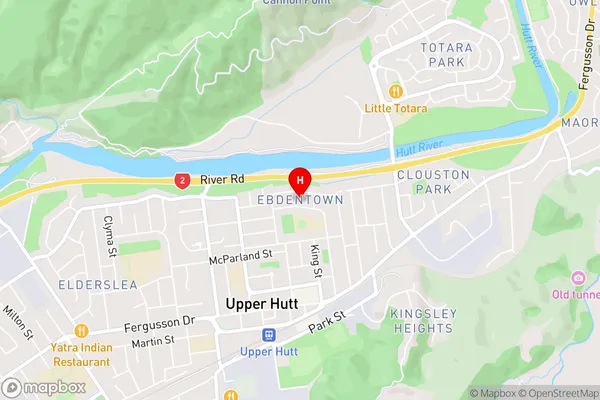
EbdentownEbdentown Area Map (Street)
Local Authority
Upper Hutt CityFull Address
Ebdentown, Upper Hutt City, New ZealandAddress Type
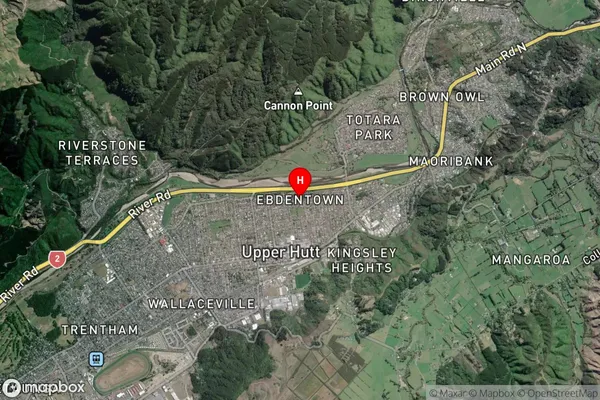
Suburb in City Upper HuttEbdentown Suburb Map (Satellite)
Country
Main Region in AU
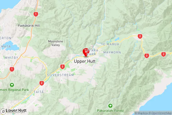
WellingtonEbdentown Region Map
Coordinates
-41.1173595,175.0732285 (latitude/longitude)Distances
The distance from Ebdentown, Upper Hutt, Upper Hutt City to NZ Top 10 Cities