Brown Owl Area, Brown Owl Postcode(6007) & Map in Brown Owl
Brown Owl Area, Brown Owl Postcode(6007) & Map in Brown Owl, Upper Hutt City, New Zealand
Brown Owl, Upper Hutt City, New Zealand
Brown Owl Area (estimated)
1.1 square kilometersBrown Owl Population (estimated)
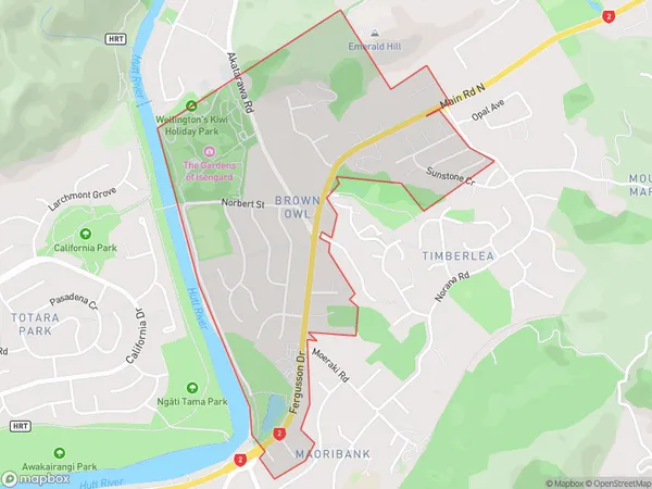
1577 people live in Brown Owl, Upper Hutt, NZBrown Owl Suburb Area Map (Polygon)
Brown Owl Introduction
The 'Brown Owl' is a historic pub in Upper Hutt, Wellington, New Zealand. It was built in 1864 and is known for its traditional wooden architecture and cozy atmosphere. The pub has a rich history and has been a popular gathering place for locals and visitors alike for over 150 years. It is also listed on the New Zealand Historic Places Trust Register.Region
Major City
Suburb Name
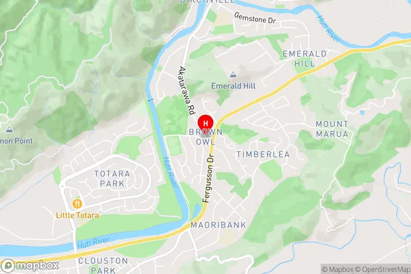
Brown OwlBrown Owl Area Map (Street)
Local Authority
Upper Hutt CityFull Address
Brown Owl, Upper Hutt City, New ZealandAddress Type
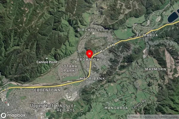
Suburb in City Upper HuttBrown Owl Suburb Map (Satellite)
Country
Main Region in AU
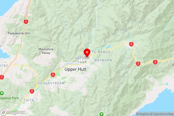
WellingtonBrown Owl Region Map
Coordinates
-41.1040446,175.0975147 (latitude/longitude)Distances
The distance from Brown Owl, Upper Hutt, Upper Hutt City to NZ Top 10 Cities