Heretaunga Area, Heretaunga Postcode(5019) & Map in Heretaunga
Heretaunga Area, Heretaunga Postcode(5019) & Map in Heretaunga, Upper Hutt City, New Zealand
Heretaunga, Upper Hutt City, New Zealand
Heretaunga Area (estimated)
3.9 square kilometersHeretaunga Population (estimated)
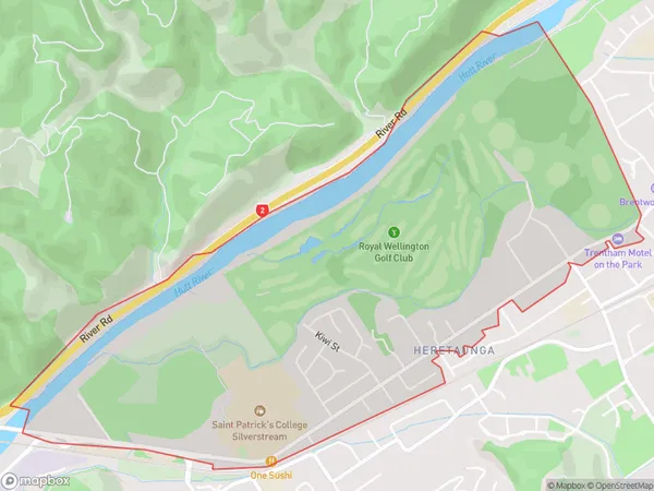
1949 people live in Heretaunga, Upper Hutt, NZHeretaunga Suburb Area Map (Polygon)
Heretaunga Introduction
Heretaunga is a suburb in Upper Hutt, Wellington, New Zealand. It is located on the southern side of the Hutt River and is known for its scenic views, parks, and recreational facilities. The suburb has a population of around 10,000 people and is home to a variety of housing types, including apartments, townhouses, and single-family homes. It is also home to a number of schools, including Heretaunga College and St Patrick's College.Region
Major City
Suburb Name
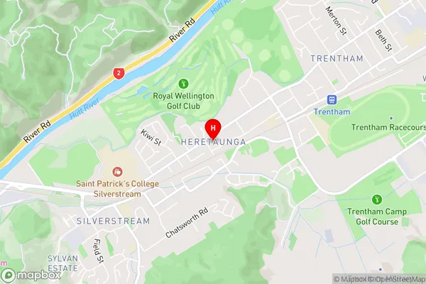
HeretaungaHeretaunga Area Map (Street)
Local Authority
Upper Hutt CityFull Address
Heretaunga, Upper Hutt City, New ZealandAddress Type
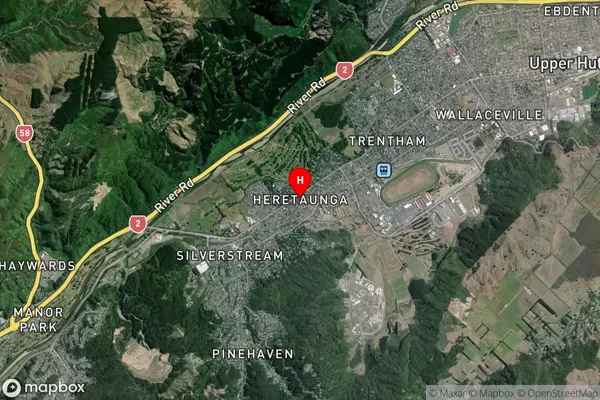
Suburb in City Upper HuttHeretaunga Suburb Map (Satellite)
Country
Main Region in AU
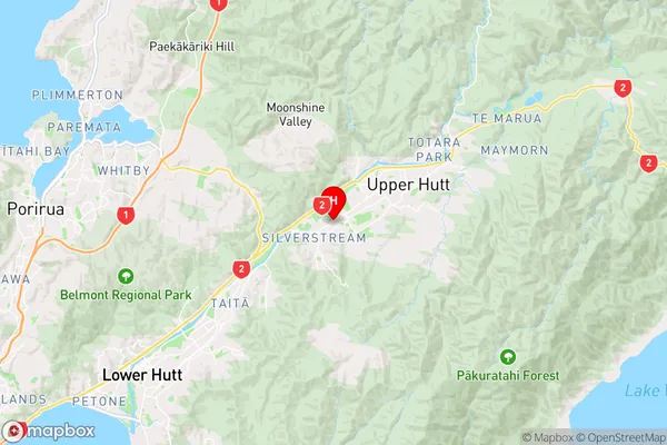
WellingtonHeretaunga Region Map
Coordinates
-41.1417739,175.0238762 (latitude/longitude)Distances
The distance from Heretaunga, Upper Hutt, Upper Hutt City to NZ Top 10 Cities