Pinehaven Area, Pinehaven Postcode(5019) & Map in Pinehaven
Pinehaven Area, Pinehaven Postcode(5019) & Map in Pinehaven, Upper Hutt City, New Zealand
Pinehaven, Upper Hutt City, New Zealand
Pinehaven Postcodes
Pinehaven Area (estimated)
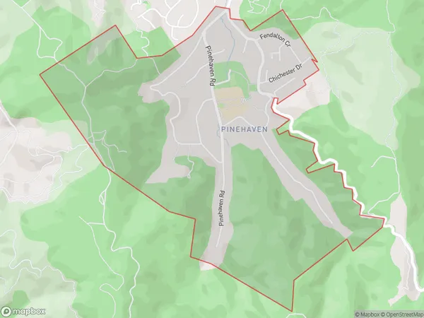
2.4 square kilometersPinehaven Population (estimated)
1762 people live in Pinehaven, Upper Hutt, NZPinehaven Suburb Area Map (Polygon)
Pinehaven Introduction
Pinehaven is a suburb of Upper Hutt, Wellington, New Zealand. It is located on the southern side of the Hutt River, approximately 5 kilometers from Upper Hutt's central business district. The suburb has a mix of residential and commercial properties, with a population of around 10,000 people. Pinehaven is known for its peaceful atmosphere, scenic parks, and easy access to public transportation. It is also home to a number of schools, including Pinehaven Primary School and St. Patrick's College.Region
Major City
Suburb Name
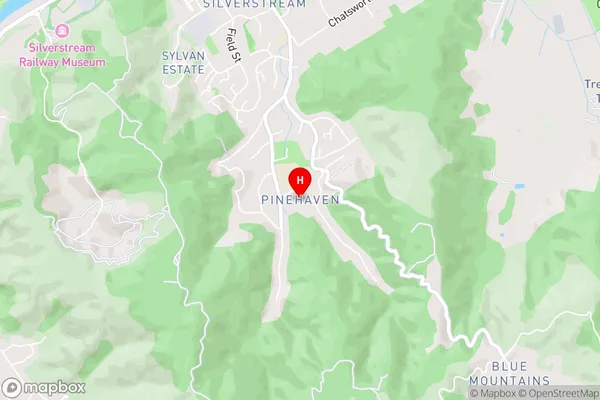
PinehavenPinehaven Area Map (Street)
Local Authority
Upper Hutt CityFull Address
Pinehaven, Upper Hutt City, New ZealandAddress Type
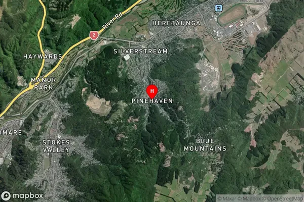
Suburb in City Upper HuttPinehaven Suburb Map (Satellite)
Country
Main Region in AU
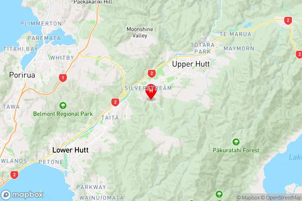
WellingtonPinehaven Region Map
Coordinates
-41.1616928,175.0157222 (latitude/longitude)Distances
The distance from Pinehaven, Upper Hutt, Upper Hutt City to NZ Top 10 Cities