Kingsley Heights Area, Kingsley Heights Postcode(6007) & Map in Kingsley Heights
Kingsley Heights Area, Kingsley Heights Postcode(6007) & Map in Kingsley Heights, Upper Hutt City, New Zealand
Kingsley Heights, Upper Hutt City, New Zealand
Kingsley Heights Area (estimated)
1.1 square kilometersKingsley Heights Population (estimated)
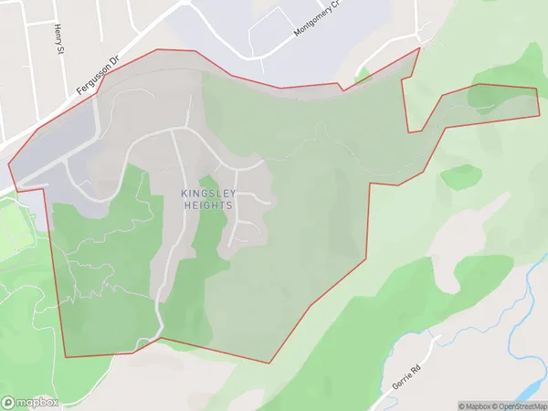
484 people live in Kingsley Heights, Upper Hutt, NZKingsley Heights Suburb Area Map (Polygon)
Kingsley Heights Introduction
Kingsley Heights is a suburb of Upper Hutt, Wellington, New Zealand. It is located in the Hutt Valley and is known for its scenic views, large homes, and peaceful atmosphere. The area has a variety of recreational facilities, including parks, golf courses, and walking trails, and is close to public transport and shopping centers. Kingsley Heights is a popular residential area for families and professionals looking for a quiet and convenient lifestyle.Region
Major City
Suburb Name
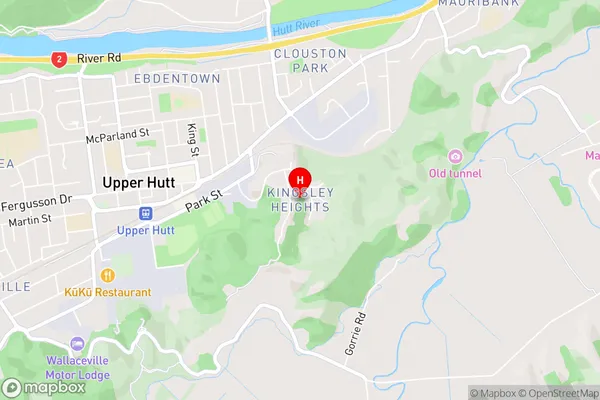
Kingsley HeightsKingsley Heights Area Map (Street)
Local Authority
Upper Hutt CityFull Address
Kingsley Heights, Upper Hutt City, New ZealandAddress Type
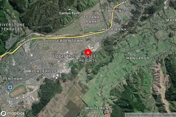
Suburb in City Upper HuttKingsley Heights Suburb Map (Satellite)
Country
Main Region in AU
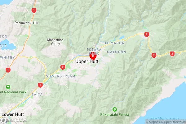
WellingtonKingsley Heights Region Map
Coordinates
-41.1251977,175.0837978 (latitude/longitude)Distances
The distance from Kingsley Heights, Upper Hutt, Upper Hutt City to NZ Top 10 Cities