Akatarawa Area, Akatarawa Postcode & Map in Akatarawa
Akatarawa Area, Akatarawa Postcode & Map in Akatarawa, Upper Hutt City,
Akatarawa, Upper Hutt City,
Akatarawa Area (estimated)
6.2 square kilometersAkatarawa Population (estimated)
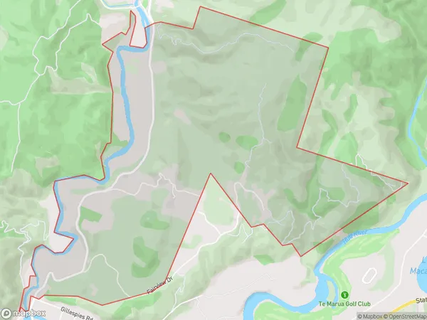
330 people live in Akatarawa, Upper Hutt, NZAkatarawa Suburb Area Map (Polygon)
Akatarawa Introduction
Akatarawa is a suburb of Upper Hutt, Wellington, New Zealand. It is located on the banks of the Akatarawa River and is known for its lush green parks and tranquil waterways. The area has a rich history and was once home to a significant Māori population. Today, it is a popular residential area with a mix of modern homes and historic buildings.Region
Major City
Suburb Name
AkatarawaAkatarawa Area Map (Street)
Local Authority
Upper Hutt CityFull Address
Akatarawa, Upper Hutt City,Address Type
Suburb in City Upper HuttAkatarawa Suburb Map (Satellite)
Country
Main Region in AU
WellingtonAkatarawa Region Map
Coordinates
0,0 (latitude/longitude)Distances
The distance from Akatarawa, Upper Hutt, Upper Hutt City to NZ Top 10 Cities