Te Marua Area, Te Marua Postcode(6007) & Map in Te Marua
Te Marua Area, Te Marua Postcode(6007) & Map in Te Marua, Upper Hutt City, New Zealand
Te Marua, Upper Hutt City, New Zealand
Te Marua Area (estimated)
5.6 square kilometersTe Marua Population (estimated)
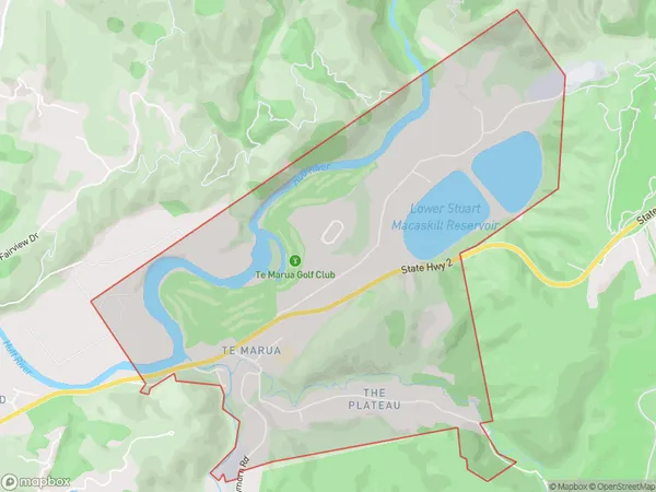
956 people live in Te Marua, Upper Hutt, NZTe Marua Suburb Area Map (Polygon)
Te Marua Introduction
Te Marua is a suburb in Upper Hutt, Wellington, New Zealand. It is located on the western side of the Hutt River, approximately 10 kilometers from Wellington's central business district. The suburb has a population of around 6,000 people and is known for its scenic surroundings, including the Te Marua Nature Reserve and the Te Marua Forest Park. Te Marua is also home to a number of important historical sites, including the Te Marua Native School and the Te Marua Marae.Region
Major City
Suburb Name
Te Marua (Maori Name: Te Mārua)Other Name(s)
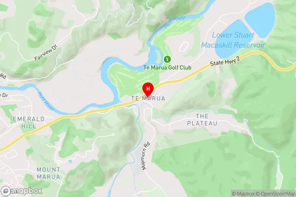
Pakuratahi, The PlateauTe Marua Area Map (Street)
Local Authority
Upper Hutt CityFull Address
Te Marua, Upper Hutt City, New ZealandAddress Type
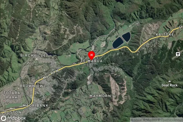
Suburb in City Upper HuttTe Marua Suburb Map (Satellite)
Country
Main Region in AU
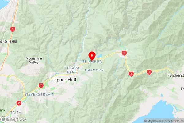
WellingtonTe Marua Region Map
Coordinates
-41.0934783,175.1306958 (latitude/longitude)Distances
The distance from Te Marua, Upper Hutt, Upper Hutt City to NZ Top 10 Cities