Upper Hutt Central Area, Upper Hutt Central Postcode(5218) & Map in Upper Hutt Central
Upper Hutt Central Area, Upper Hutt Central Postcode(5218) & Map in Upper Hutt Central, Upper Hutt City, New Zealand
Upper Hutt Central, Upper Hutt City, New Zealand
Upper Hutt Central Area (estimated)
0.5 square kilometersUpper Hutt Central Population (estimated)
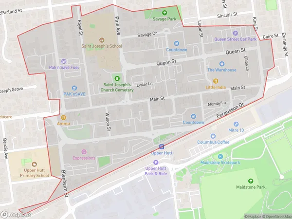
352 people live in Upper Hutt Central, Upper Hutt, NZUpper Hutt Central Suburb Area Map (Polygon)
Upper Hutt Central Introduction
Upper Hutt Central is a shopping center located in Upper Hutt, Wellington, New Zealand. It was built in 1972 and has over 100 stores, including anchor tenants such as New World, Pak'n Save, and The Warehouse. The center also features a food court, a cinema, and a variety of other services. Upper Hutt Central is a popular shopping destination for locals and visitors alike and is known for its convenient location and wide range of stores.Region
Major City
Suburb Name
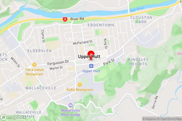
Upper Hutt CentralUpper Hutt Central Area Map (Street)
Local Authority
Upper Hutt CityFull Address
Upper Hutt Central, Upper Hutt City, New ZealandAddress Type
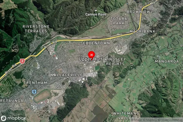
Suburb in City Upper HuttUpper Hutt Central Suburb Map (Satellite)
Country
Main Region in AU
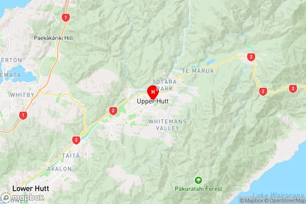
WellingtonUpper Hutt Central Region Map
Coordinates
-41.1249238,175.0704749 (latitude/longitude)Distances
The distance from Upper Hutt Central, Upper Hutt, Upper Hutt City to NZ Top 10 Cities