Whitemans Valley Area, Whitemans Valley Postcode(5371) & Map in Whitemans Valley
Whitemans Valley Area, Whitemans Valley Postcode(5371) & Map in Whitemans Valley, Upper Hutt City, New Zealand
Whitemans Valley, Upper Hutt City, New Zealand
Whitemans Valley Postcodes
Whitemans Valley Area (estimated)
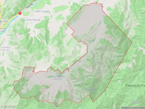
57.9 square kilometersWhitemans Valley Population (estimated)
794 people live in Whitemans Valley, Upper Hutt, NZWhitemans Valley Suburb Area Map (Polygon)
Whitemans Valley Introduction
Whitemans Valley is a suburb in Upper Hutt, Wellington, New Zealand. It is located in the Hutt Valley and is known for its scenic views, parks, and recreational facilities. The area has a population of around 10,000 people and is home to a variety of housing types, including apartments, townhouses, and single-family homes. Whitemans Valley is well-connected to the rest of Wellington via public transport, with several bus routes and a train station located within the suburb. The area is also home to a number of schools, including Whitemans Valley Primary School and St. Patrick's College.Region
Major City
Suburb Name
Whitemans ValleyOther Name(s)
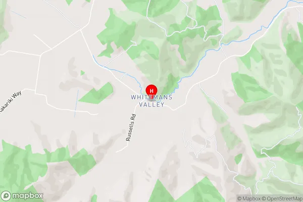
Rimutaka Prison, Trentham Military CampWhitemans Valley Area Map (Street)
Local Authority
Upper Hutt CityFull Address
Whitemans Valley, Upper Hutt City, New ZealandAddress Type
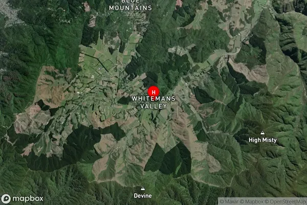
Locality in City Upper HuttWhitemans Valley Suburb Map (Satellite)
Country
Main Region in AU
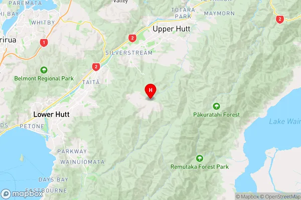
WellingtonWhitemans Valley Region Map
Coordinates
-41.1977082,175.0414529 (latitude/longitude)Distances
The distance from Whitemans Valley, Upper Hutt, Upper Hutt City to NZ Top 10 Cities