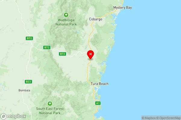
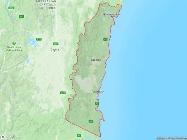
South Coast Suburbs & Region, South Coast Map & Postcodes
South Coast Suburbs & Region, South Coast Map & Postcodes in South Coast, Capital Region, NSW, AU
South Coast Region
Region Name
South Coast (NSW, AU)South Coast Area
9864 square kilometers (9,864 ㎢)Postal Codes
2537, 2545, 2546, from 2548 to 2551, and 2632 (In total, there are 8 postcodes in South Coast.)South Coast Introduction
The South Coast is a region of New South Wales, Australia, located south of Sydney. It is known for its stunning natural beauty, including the Royal National Park, Jervis Bay, and the Illawarra Range. The region is home to a diverse range of cultures and communities, with many popular tourist attractions and landmarks. It is also a major agricultural area, producing a variety of crops and products. The South Coast is a popular destination for outdoor enthusiasts, with many opportunities for hiking, camping, surfing, and fishing. It is also home to several universities and colleges, including the University of Wollongong and the University of New South Wales.Australia State
City or Big Region
District or Regional Area
South Coast Region Map

South Coast Postcodes / Zip Codes
South Coast Suburbs
Eurobodalla Hinterland
Moruya Tuross Head
Narooma Bermagui
South Coast full address
South Coast, Capital Region, New South Wales, NSW, Australia, SaCode: 10104Country
South Coast, Capital Region, New South Wales, NSW, Australia, SaCode: 10104
South Coast Suburbs & Region, South Coast Map & Postcodes has 6 areas or regions above, and there are 148 South Coast suburbs below. The sa3code for the South Coast region is 10104. Its latitude and longitude coordinates are -36.6889,149.842.
South Coast Suburbs & Localities
1. Bergalia
2. Bingie
3. Broulee
4. Coila
5. Congo
6. Deua
7. Deua River Valley
8. Kiora
9. Meringo
10. Mogendoura
11. Moruya
12. Moruya Heads
13. Mossy Point
14. Tomakin
15. Turlinjah
16. Tuross Head
17. Wamban
18. Belowra
19. Bodalla
20. Cadgee
21. Eurobodalla
22. Nerrigundah
23. Potato Point
24. Stony Creek
25. Akolele
26. Barragga Bay
27. Beauty Point
28. Bermagui
29. Bermagui South
30. Central Tilba
31. Corunna
32. Cuttagee
33. Dalmeny
34. Dignams Creek
35. Greendale
36. Kianga
37. Murrah
38. Mystery Bay
39. Narooma
40. North Narooma
41. Tilba Tilba
42. Tinpot
43. Wadbilliga
44. Wallaga Lake
45. Wallaga Lake Heights
46. Berrambool
47. Bournda
48. Merimbula
49. Mirador
50. Tura Beach
51. Yellow Pinch
52. Bald Hills
53. Broadwater
54. Greigs Flat
55. Lochiel
56. Millingandi
57. Nethercote
58. Pambula
59. Pambula Beach
60. South Pambula
61. Angledale
62. Bega
63. Bemboka
64. Black Range
65. Bournda
66. Brogo
67. Buckajo
68. Bunga
69. Burragate
70. Candelo
71. Chinnock
72. Cobargo
73. Coolagolite
74. Coolangubra
75. Coopers Gully
76. Devils Hole
77. Doctor George Mountain
78. Frogs Hollow
79. Greendale
80. Jellat Jellat
81. Kalaru
82. Kameruka
83. Kanoona
84. Kingswood
85. Mogareeka
86. Mogilla
87. Morans Crossing
88. Mumbulla Mountain
89. Murrah
90. Myrtle Mountain
91. Nelson
92. New Buildings
93. Numbugga
94. Pericoe
95. Quaama
96. Reedy Swamp
97. Rocky Hall
98. South Wolumla
99. Stony Creek
100. Tanja
101. Tantawangalo
102. Tarraganda
103. Tathra
104. Toothdale
105. Towamba
106. Verona
107. Wallagoot
108. Wandella
109. Wapengo
110. Wog Wog
111. Wolumla
112. Wyndham
113. Yambulla
114. Yankees Creek
115. Yowrie
116. Boydtown
117. Eden
118. Edrom
119. Green Cape
120. Kiah
121. Nadgee
122. Narrabarba
123. Nullica
124. Nungatta
125. Nungatta South
126. Timbillica
127. Wonboyn
128. Wonboyn Lake
129. Wonboyn North
130. Bibbenluke
131. Bombala
132. Bondi Forest
133. Bukalong
134. Cambalong
135. Cathcart
136. Coolumbooka
137. Craigie
138. Gunningrah
139. Lords Hill
140. Merriangaah
141. Mila
142. Mount Darragh
143. Nungatta
144. Paddys Flat
145. Palarang
146. Quidong
147. Rockton
148. Rosemeath
