Bega Tathra Suburbs & Region, Bega Tathra Map & Postcodes
Bega Tathra Suburbs & Region, Bega Tathra Map & Postcodes in Bega Tathra, South Coast, Capital Region, NSW, AU
Bega Tathra Region
Region Name
Bega Tathra (NSW, AU)Bega Tathra Area
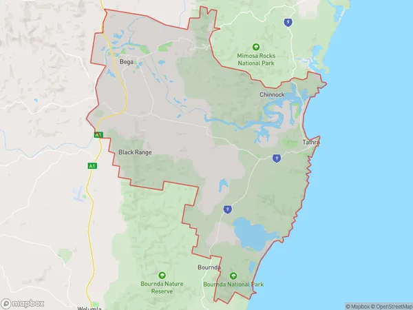
183.9 square kilometers (183.9 ㎢)Bega Tathra Introduction
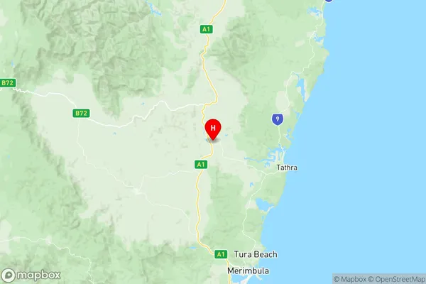
Bega Tathra is a locality in the Bega Valley Shire of New South Wales, Australia. It is situated on the Princes Highway between the towns of Bega and Merimbula. The town is home to the Bega Cheese factory, which is one of Australia's largest producers of cheese. The Bega Tathra Festival is an annual event that attracts thousands of people to the town. It is held over three days in September and features a range of activities, including music, food, and carnival rides. The town has a population of around 4,000 people and is surrounded by beautiful countryside.Australia State
City or Big Region
Greater Capital City
Rest of NSW (1RNSW)District or Regional Area
Suburb Name
Bega Tathra Region Map

Bega Tathra Suburbs
Bega Tathra full address
Bega Tathra, South Coast, Capital Region, New South Wales, NSW, Australia, SaCode: 101041019Country
Bega Tathra, South Coast, Capital Region, New South Wales, NSW, Australia, SaCode: 101041019
Bega Tathra Suburbs & Region, Bega Tathra Map & Postcodes has 0 areas or regions above, and there are 0 Bega Tathra suburbs below. The sa2code for the Bega Tathra region is 101041019. Its latitude and longitude coordinates are -36.6889,149.842. Bega Tathra area belongs to Australia's greater capital city Rest of NSW.
