Capital Region Suburbs & Region, Capital Region Map & Postcodes
Capital Region Suburbs & Region, Capital Region Map & Postcodes in Capital Region, NSW, AU
Capital Region Region
Region Name
Capital Region (NSW, AU)Capital Region Area
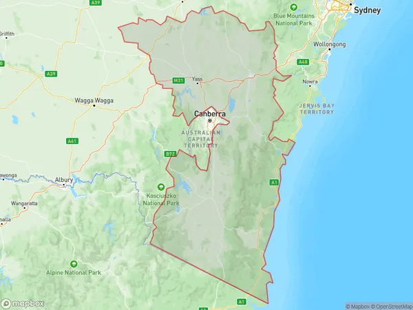
51896 square kilometers (51,896 ㎢)Capital Region Suburb Area Map (Polygon)
Capital Region Introduction
The Capital Region is a region of New South Wales, Australia, located in the south-east of the state. It is home to the state capital, Canberra, and is surrounded by the Australian Capital Territory to the north, the South Coast to the south, the Southern Highlands to the west, and the Murrumbidgee River to the east. The region is known for its natural beauty, including the Snowy Mountains, the Blue Mountains, and the ACT's Lake Burley Griffin. It is also home to a number of important cultural institutions, including the Australian War Memorial, the National Gallery of Australia, and the National Museum of Australia. The region has a population of over 1.5 million people and is one of the fastest-growing regions in Australia.Australia State
City or Big Region
Capital Region Region Map
Capital Region Suburbs
Goulburn Yass
Snowy Mountains
South Coast
Goulburn Mulwaree
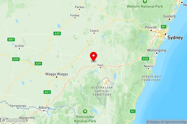
Capital Region full address
Capital Region, New South Wales, NSW, Australia, SaCode: 101Country
Capital Region, New South Wales, NSW, Australia, SaCode: 101
Capital Region Suburbs & Region, Capital Region Map & Postcodes has 6 areas or regions above, and there are 0 Capital Region suburbs below. The sa4code for the Capital Region region is 101. Its latitude and longitude coordinates are -34.6797,148.669.