Queanbeyan Suburbs & Region, Queanbeyan Map & Postcodes
Queanbeyan Suburbs & Region, Queanbeyan Map & Postcodes in Queanbeyan, Capital Region, NSW, AU
Queanbeyan Region
Region Name
Queanbeyan (NSW, AU)Queanbeyan Area
6511 square kilometers (6,511 ㎢)Postal Codes
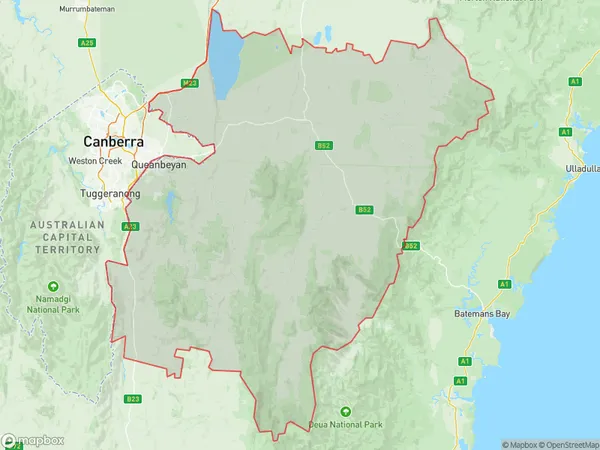
2581, 2619, 2621, and 2623 (In total, there are 4 postcodes in Queanbeyan.)Queanbeyan Suburb Area Map (Polygon)
Queanbeyan Introduction
Queanbeyan is a city in the Australian Capital Territory (ACT) and the seat of the Queanbeyan-Palerang Regional Council. It is located about 150 km southwest of Canberra, the national capital. Queanbeyan is known for its historic buildings, including the Queanbeyan Courthouse, which is one of Australia's oldest courthouses. The city is also home to the Australian War Memorial and the National Zoo and Aquarium. Queanbeyan is a popular tourist destination and is surrounded by beautiful countryside, including the Namadgi National Park.Australia State
City or Big Region
District or Regional Area
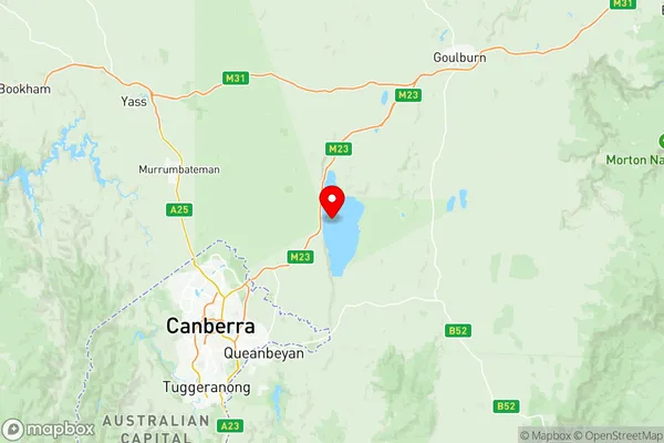
Queanbeyan Region Map
Queanbeyan Postcodes / Zip Codes
Queanbeyan Suburbs
Queanbeyan Surrounds
Queanbeyan full address
Queanbeyan, Capital Region, New South Wales, NSW, Australia, SaCode: 10102Country
Queanbeyan, Capital Region, New South Wales, NSW, Australia, SaCode: 10102
Queanbeyan Suburbs & Region, Queanbeyan Map & Postcodes has 2 areas or regions above, and there are 27 Queanbeyan suburbs below. The sa3code for the Queanbeyan region is 10102. Its latitude and longitude coordinates are -35.0859,149.403.
Queanbeyan Suburbs & Localities
1. Broadway
2. Gunning
3. Lade Vale
4. Bellmount Forest
5. Biala
6. Collector
7. Dalton
8. Gurrundah
9. Merrill
10. Tallaganda
11. Primrose Valley
12. Anembo
13. Hoskinstown
14. Rossi
15. Captains Flat
16. Breadalbane
17. Lake George
18. Lerida
19. Oolong
20. Wollogorang
21. Bevendale
22. Blakney Creek
23. Cullerin
24. Jerrabomberra
25. Bywong
26. Bungendore
27. Forbes Creek