Blakney Creek Area, Blakney Creek Postcode(2581) & Map in Blakney Creek, Capital Region, NSW
Blakney Creek Area, Blakney Creek Postcode(2581) & Map in Blakney Creek, Capital Region, NSW, AU, Postcode: 2581
Blakney Creek, Yass Region, Young - Yass, Capital Region, New South Wales, Australia, 2581
Blakney Creek Postcode
Area Name
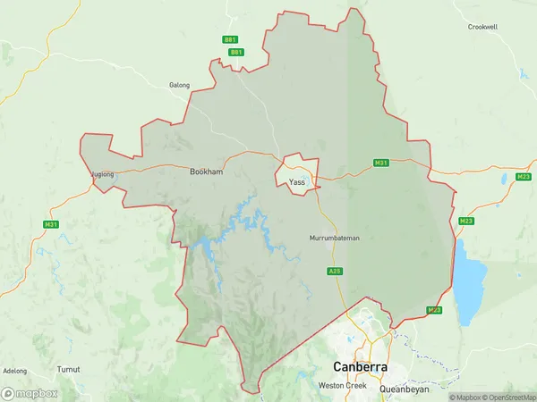
Blakney CreekBlakney Creek Suburb Area Map (Polygon)

Blakney Creek Introduction
Blakney Creek is a suburb of the City of Shoalhaven in the South Coast region of New South Wales, Australia. It is located about 32 kilometres south of Nowra and 268 kilometres south of Sydney. Blakney Creek is named after the creek that flows through the suburb. The population of Blakney Creek is approximately 1,200 people.State Name
City or Big Region
District or Regional Area
Suburb Name
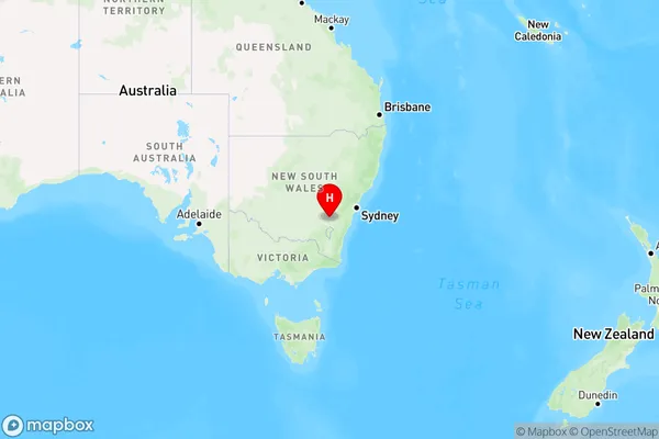
Blakney Creek Region Map

Country
Main Region in AU
R3Coordinates
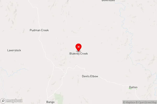
-34.6456908,149.0376792 (latitude/longitude)Blakney Creek Area Map (Street)

Longitude
149.286631Latitude
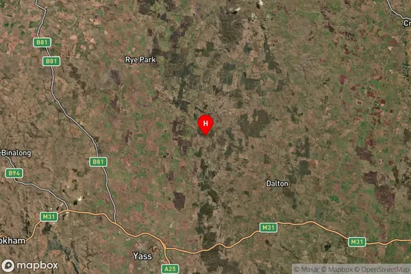
-34.764484Blakney Creek Suburb Map (Satellite)

Distances
The distance from Blakney Creek, Capital Region, NSW to AU Greater Capital CitiesSA1 Code 2011
10101100421SA1 Code 2016
10106154207SA2 Code
101061542SA3 Code
10106SA4 Code
101RA 2011
2RA 2016
2MMM 2015
5MMM 2019
5Charge Zone
N2LGA Region
Upper Lachlan ShireLGA Code
17640Electorate
Hume