Rye Park Area, Rye Park Postcode(2586) & Map in Rye Park, Capital Region, NSW
Rye Park Area, Rye Park Postcode(2586) & Map in Rye Park, Capital Region, NSW, AU, Postcode: 2586
Rye Park, Yass Region, Young - Yass, Capital Region, New South Wales, Australia, 2586
Rye Park Postcode
Area Name
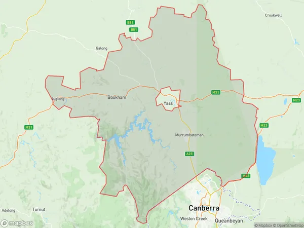
Rye ParkRye Park Suburb Area Map (Polygon)

Rye Park Introduction
Rye Park is a suburb in the southern region of Sydney, in the state of New South Wales, Australia. It is located 23 kilometers south of the Sydney central business district and is part of the City of Georges River Council. Rye Park is a residential area with a mix of houses and apartments. It has a small shopping center with a supermarket, cafes, and restaurants. The suburb also has a community center, a park, and a golf course. Rye Park is well-connected to public transportation, with buses and trains servicing the area. It is also close to several major roads, including the M4 motorway and the Princes Highway.State Name
City or Big Region
District or Regional Area
Suburb Name
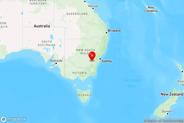
Rye Park Region Map

Country
Main Region in AU
R3Coordinates
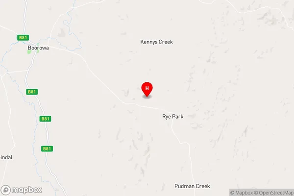
-34.4965823,148.8712058 (latitude/longitude)Rye Park Area Map (Street)

Longitude
148.797264Latitude
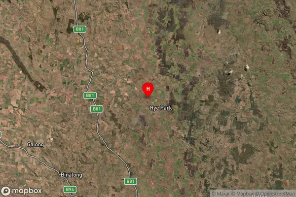
-34.378631Rye Park Suburb Map (Satellite)

Distances
The distance from Rye Park, Capital Region, NSW to AU Greater Capital CitiesSA1 Code 2011
10101100413SA1 Code 2016
10106154206SA2 Code
101061542SA3 Code
10106SA4 Code
101RA 2011
2RA 2016
2MMM 2015
5MMM 2019
5Charge Zone
N2LGA Region
HilltopsLGA Code
13910Electorate
Riverina