Bolaro Area, Bolaro Postcode(2629) & Map in Bolaro, Capital Region, NSW
Bolaro Area, Bolaro Postcode(2629) & Map in Bolaro, Capital Region, NSW, AU, Postcode: 2629
Bolaro, Cooma Region, Snowy Mountains, Capital Region, New South Wales, Australia, 2629
Bolaro Postcode
Area Name
BolaroBolaro Suburb Area Map (Polygon)

Bolaro Introduction
Bolaro is a suburb of the Central Coast region of New South Wales, Australia. It is located 10 kilometers north of the city of Gosford and is part of the Central Coast Council local government area. Bolaro is a small town with a population of around 3,000 people and is known for its rural atmosphere and scenic surroundings.State Name
City or Big Region
District or Regional Area
Suburb Name
Bolaro Region Map
Country
Main Region in AU
R3Coordinates
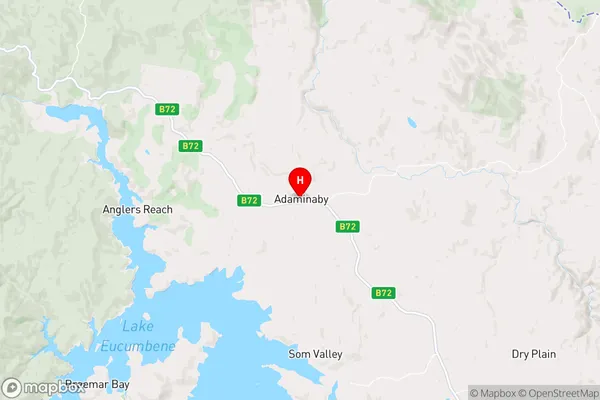
-35.996111,148.773889 (latitude/longitude)Bolaro Area Map (Street)
Longitude
148.8527Latitude
-35.9196Bolaro Suburb Map (Satellite)

Distances
The distance from Bolaro, Capital Region, NSW to AU Greater Capital CitiesSA1 Code 2011
10103101511SA1 Code 2016
10103101511SA2 Code
101031015SA3 Code
10103SA4 Code
101RA 2011
3RA 2016
3MMM 2015
5MMM 2019
5Charge Zone
undefinedLGA Region
Snowy Monaro RegionalLGA Code
17040Electorate
undefined