Bibbenluke Area, Bibbenluke Postcode(2632) & Map in Bibbenluke, Capital Region, NSW
Bibbenluke Area, Bibbenluke Postcode(2632) & Map in Bibbenluke, Capital Region, NSW, AU, Postcode: 2632
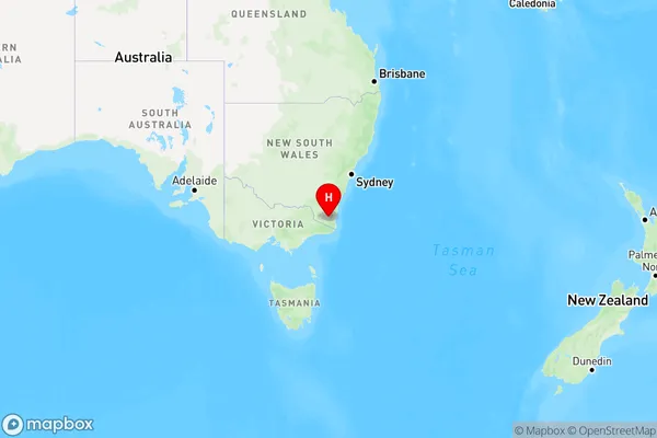
Bibbenluke, Bombala, Snowy Mountains, Capital Region, New South Wales, Australia, 2632
Bibbenluke Postcode
Area Name
BibbenlukeBibbenluke Suburb Area Map (Polygon)

Bibbenluke Introduction
Bibbenluke is a small rural town in the Central West region of New South Wales, Australia. It is located in the Macquarie Valley and is surrounded by picturesque farmland. The town has a population of around 2,000 people and is known for its historic stone buildings and friendly community. Bibbenluke is also home to a number of wineries and a golf course.State Name
City or Big Region
District or Regional Area
Suburb Name
Bibbenluke Region Map
Country
Main Region in AU
R3Coordinates
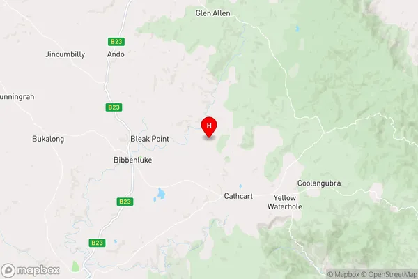
-36.7989059,149.3596972 (latitude/longitude)Bibbenluke Area Map (Street)
Longitude
149.220453Latitude
-37.020122Bibbenluke Elevation
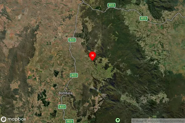
about 772.97 meters height above sea level (Altitude)Bibbenluke Suburb Map (Satellite)
Distances
The distance from Bibbenluke, Capital Region, NSW to AU Greater Capital CitiesSA1 Code 2011
10103101307SA1 Code 2016
10103101307SA2 Code
101031013SA3 Code
10103SA4 Code
101RA 2011
3RA 2016
3MMM 2015
5MMM 2019
5Charge Zone
N2LGA Region
Bega ValleyLGA Code
10550Electorate
Eden-Monaro