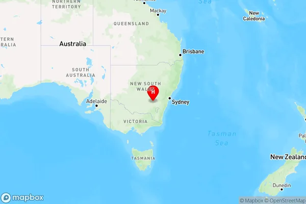
Prunevale Area, Prunevale Postcode(2587) & Map in Prunevale, Capital Region, NSW
Prunevale Area, Prunevale Postcode(2587) & Map in Prunevale, Capital Region, NSW, AU, Postcode: 2587
Prunevale, Young, Young - Yass, Capital Region, New South Wales, Australia, 2587
Prunevale Postcode
Area Name
PrunevalePrunevale Suburb Area Map (Polygon)

Prunevale Introduction
Prunevale is a suburb in the Macarthur region of South West Sydney, New South Wales, Australia. It is located 56 kilometers south-west of Sydney's central business district and is part of the Macarthur City Council. The suburb is named after the Prunevale railway station, which was opened on 1 October 1889. Prunevale is primarily a residential area with a mix of single-family homes and apartments. It has a small shopping center with a supermarket, pharmacy, and several cafes and restaurants. The suburb also has a community center, a park, and a cricket club.State Name
City or Big Region
District or Regional Area
Suburb Name
Prunevale Region Map

Country
Main Region in AU
R3Coordinates
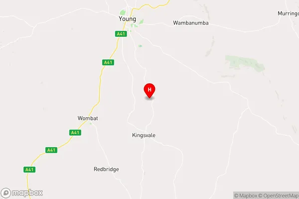
-34.4023513,148.327441 (latitude/longitude)Prunevale Area Map (Street)

Longitude
148.360971Latitude
-34.505797Prunevale Elevation
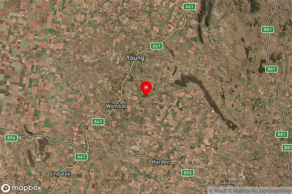
about 410.31 meters height above sea level (Altitude)Prunevale Suburb Map (Satellite)

Distances
The distance from Prunevale, Capital Region, NSW to AU Greater Capital CitiesSA1 Code 2011
10101100517SA1 Code 2016
10106154322SA2 Code
101061543SA3 Code
10106SA4 Code
101RA 2011
2RA 2016
2MMM 2015
4MMM 2019
4Charge Zone
N2LGA Region
HilltopsLGA Code
13910Electorate
Shortland