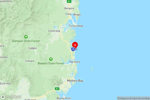
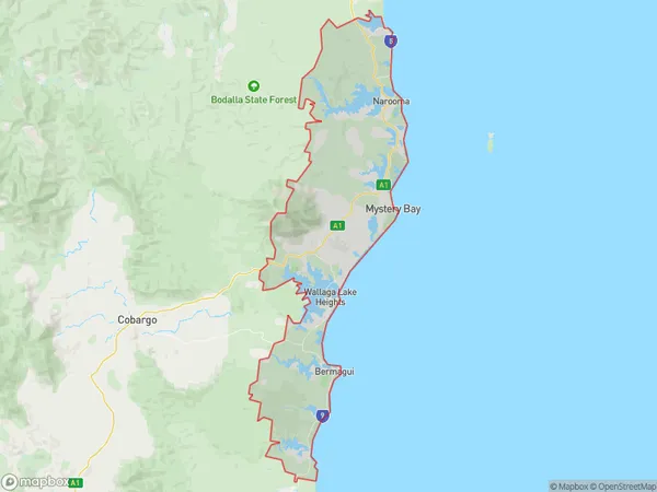
Narooma Bermagui Suburbs & Region, Narooma Bermagui Map & Postcodes
Narooma Bermagui Suburbs & Region, Narooma Bermagui Map & Postcodes in Narooma Bermagui, South Coast, Capital Region, NSW, AU
Narooma Bermagui Region
Region Name
Narooma Bermagui (NSW, AU)Narooma Bermagui Area
252.65 square kilometers (252.65 ㎢)Narooma Bermagui Introduction
Narooma Bermagui is a coastal town in the South Coast region of New South Wales, Australia. It is located in the Eurobodalla Shire and is situated between the towns of Batemans Bay and Moruya. The town is known for its beautiful beaches, fishing, and surfing opportunities. It is also home to the Narooma Golf Club and the Narooma Ocean Swim. The population of Narooma is approximately 6,000 people.Australia State
City or Big Region
Greater Capital City
Rest of NSW (1RNSW)District or Regional Area
Suburb Name
Narooma Bermagui Region Map

Narooma Bermagui Suburbs
Narooma Bermagui full address
Narooma Bermagui, South Coast, Capital Region, New South Wales, NSW, Australia, SaCode: 101041027Country
Narooma Bermagui, South Coast, Capital Region, New South Wales, NSW, Australia, SaCode: 101041027
Narooma Bermagui Suburbs & Region, Narooma Bermagui Map & Postcodes has 0 areas or regions above, and there are 0 Narooma Bermagui suburbs below. The sa2code for the Narooma Bermagui region is 101041027. Its latitude and longitude coordinates are -36.1667,150.133. Narooma Bermagui area belongs to Australia's greater capital city Rest of NSW.
