Rosemeath Area, Rosemeath Postcode(2632) & Map in Rosemeath, Capital Region, NSW
Rosemeath Area, Rosemeath Postcode(2632) & Map in Rosemeath, Capital Region, NSW, AU, Postcode: 2632
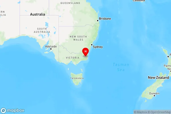
Rosemeath, Bombala, Snowy Mountains, Capital Region, New South Wales, Australia, 2632
Rosemeath Postcode
Area Name
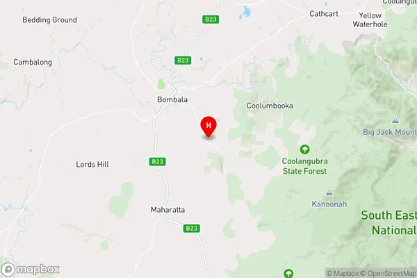
RosemeathRosemeath Suburb Area Map (Polygon)

Rosemeath Introduction
Rosemeath is a suburb in the southern Sydney region of New South Wales, Australia. It is located 21 kilometers south-west of Sydney's central business district and is part of the City of Campbelltown. Rosemeath is known for its historic homes and gardens, including the Rosemeath House Museum and the Heritage Garden. It is also home to a number of parks and recreational facilities, including the Rosemeath Reserve and the John Edmondson Reserve.State Name
City or Big Region
District or Regional Area
Suburb Name
Rosemeath Region Map
Country
Main Region in AU
R3Coordinates
-36.942467,149.2747002 (latitude/longitude)Rosemeath Area Map (Street)
Longitude
149.220453Latitude
-37.020122Rosemeath Elevation
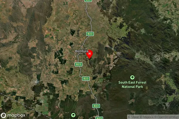
about 772.97 meters height above sea level (Altitude)Rosemeath Suburb Map (Satellite)
Distances
The distance from Rosemeath, Capital Region, NSW to AU Greater Capital CitiesSA1 Code 2011
10103101308SA1 Code 2016
10103101308SA2 Code
101031013SA3 Code
10103SA4 Code
101RA 2011
3RA 2016
3MMM 2015
5MMM 2019
5Charge Zone
N2LGA Region
Bega ValleyLGA Code
10550Electorate
Eden-Monaro