Mount Darragh Area, Mount Darragh Postcode(2632) & Map in Mount Darragh, Capital Region, NSW
Mount Darragh Area, Mount Darragh Postcode(2632) & Map in Mount Darragh, Capital Region, NSW, AU, Postcode: 2632
Mount Darragh, Bega-Eden Hinterland, South Coast, Capital Region, New South Wales, Australia, 2632
Mount Darragh Postcode
Area Name
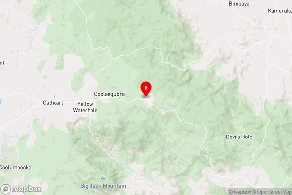
Mount DarraghMount Darragh Suburb Area Map (Polygon)

Mount Darragh Introduction
Mount Darragh is a mountain located in the Central Tablelands region of New South Wales, Australia. It is part of the Blue Mountains Range and is known for its scenic beauty, hiking trails, and camping facilities. The mountain is named after the Darragh family, who were the original landowners of the area.State Name
City or Big Region
District or Regional Area
Suburb Name
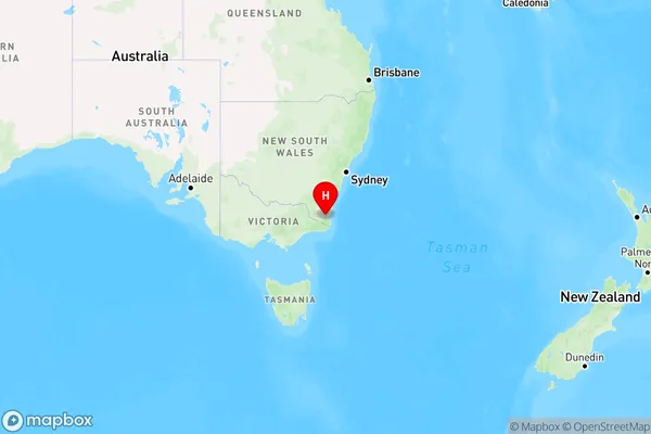
Mount Darragh Region Map
Country
Main Region in AU
R3Coordinates
-36.8374001,149.5199416 (latitude/longitude)Mount Darragh Area Map (Street)
Longitude
149.220453Latitude
-37.020122Mount Darragh Elevation
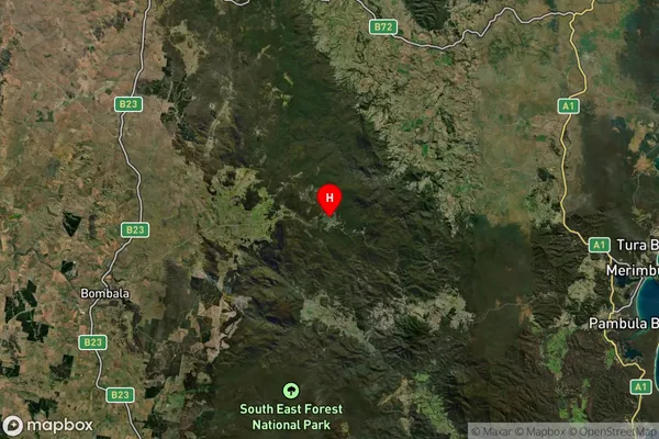
about 772.97 meters height above sea level (Altitude)Mount Darragh Suburb Map (Satellite)
Distances
The distance from Mount Darragh, Capital Region, NSW to AU Greater Capital CitiesSA1 Code 2011
10104102032SA1 Code 2016
10104102032SA2 Code
101041020SA3 Code
10104SA4 Code
101RA 2011
3RA 2016
3MMM 2015
5MMM 2019
5Charge Zone
N2LGA Region
Bega ValleyLGA Code
10550Electorate
Eden-Monaro