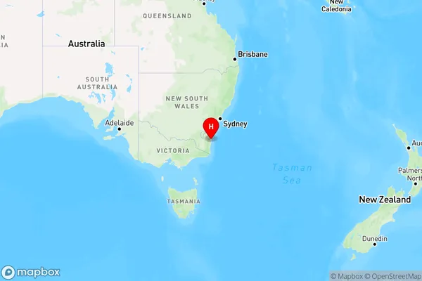
Bodalla Area, Bodalla Postcode(2545) & Map in Bodalla, Capital Region, NSW
Bodalla Area, Bodalla Postcode(2545) & Map in Bodalla, Capital Region, NSW, AU, Postcode: 2545
Bodalla, Eurobodalla Hinterland, South Coast, Capital Region, New South Wales, Australia, 2545
Bodalla Postcode
Area Name
BodallaBodalla Suburb Area Map (Polygon)

Bodalla Introduction
Bodalla is a charming town in the heart of the NSW South Coast, known for its beautiful beaches, lush gardens, and vibrant cultural scene. It is the administrative center of the Bodalla Shire and is situated between the Murramundi Mountains and the Pacific Ocean. The town has a rich history, with evidence of early settlement by Aboriginal people dating back thousands of years. It is also home to the Bodalla Cheese Factory, which produces some of the finest cheese in Australia.State Name
City or Big Region
District or Regional Area
Suburb Name
Bodalla Region Map

Country
Main Region in AU
R3Coordinates
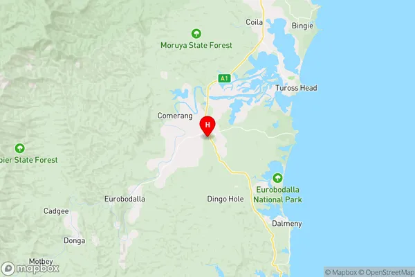
-36.1,150.05 (latitude/longitude)Bodalla Area Map (Street)

Longitude
149.792292Latitude
-36.127663Bodalla Elevation
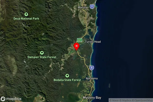
about 188.27 meters height above sea level (Altitude)Bodalla Suburb Map (Satellite)

Distances
The distance from Bodalla, Capital Region, NSW to AU Greater Capital CitiesSA1 Code 2011
10104102410SA1 Code 2016
10104102410SA2 Code
101041024SA3 Code
10104SA4 Code
101RA 2011
3RA 2016
3MMM 2015
5MMM 2019
5Charge Zone
N2LGA Region
EurobodallaLGA Code
12750Electorate
Eden-Monaro