Craigie Area, Craigie Postcode(2632) & Map in Craigie, Capital Region, NSW
Craigie Area, Craigie Postcode(2632) & Map in Craigie, Capital Region, NSW, AU, Postcode: 2632
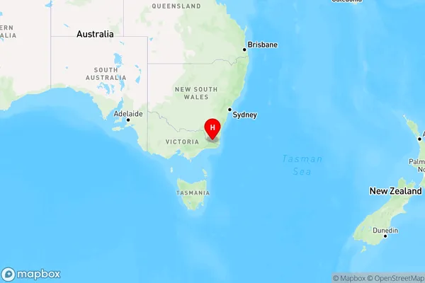
Craigie, Bombala, Snowy Mountains, Capital Region, New South Wales, Australia, 2632
Craigie Postcode
Area Name
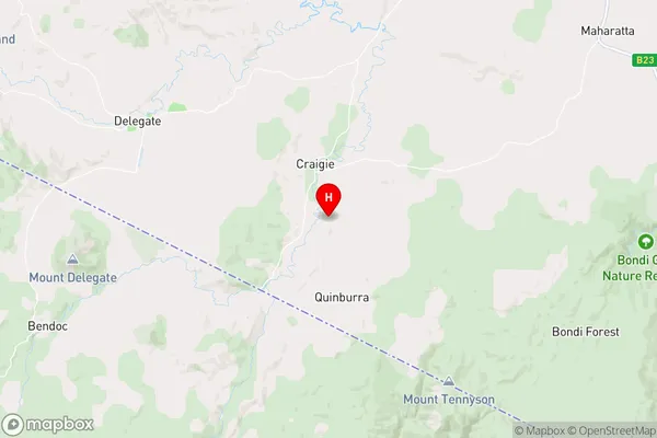
CraigieCraigie Suburb Area Map (Polygon)

Craigie Introduction
Craigie is a suburb in the City of Hawkesbury of the Central West region of New South Wales, Australia. It is located 40 kilometres (25 mi) west of Sydney's central business district, on the banks of the Macquarie River. The suburb is named after the Craigie family, who were early settlers in the area. Craigie has a population of around 1,500 people and is known for its historic buildings and picturesque gardens.State Name
City or Big Region
District or Regional Area
Suburb Name
Craigie Region Map
Country
Main Region in AU
R3Coordinates
-37.0925144,149.0594093 (latitude/longitude)Craigie Area Map (Street)
Longitude
149.220453Latitude
-37.020122Craigie Elevation
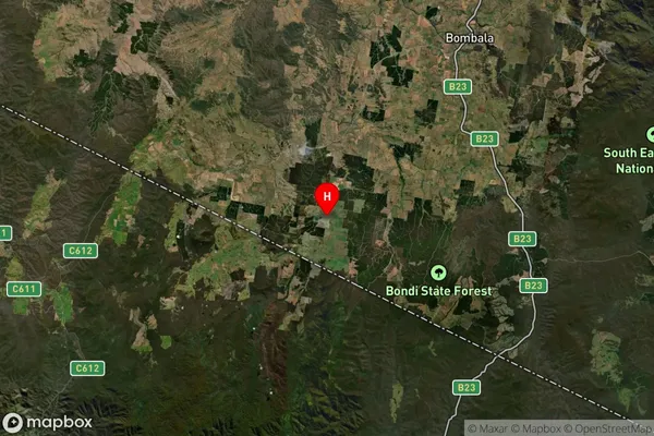
about 772.97 meters height above sea level (Altitude)Craigie Suburb Map (Satellite)
Distances
The distance from Craigie, Capital Region, NSW to AU Greater Capital CitiesSA1 Code 2011
10103101306SA1 Code 2016
10103101306SA2 Code
101031013SA3 Code
10103SA4 Code
101RA 2011
3RA 2016
3MMM 2015
5MMM 2019
5Charge Zone
N2LGA Region
Bega ValleyLGA Code
10550Electorate
Eden-Monaro