Moruya Area, Moruya Postcode(2537) & Map in Moruya, Capital Region, NSW
Moruya Area, Moruya Postcode(2537) & Map in Moruya, Capital Region, NSW, AU, Postcode: 2537
Moruya, Moruya - Tuross Head, South Coast, Capital Region, New South Wales, Australia, 2537
Moruya Postcode
Area Name
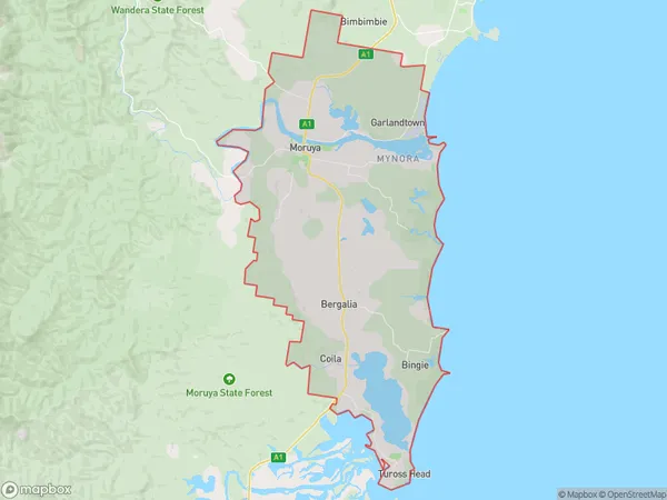
MoruyaMoruya Suburb Area Map (Polygon)

Moruya Introduction
Moruya is a town on the South Coast of New South Wales, Australia. It is located in the Moruya District of the Southern Tablelands and had a population of 10,431 at the 2016 census. The town is known for its beautiful beaches, fishing, and surfing opportunities and is surrounded by stunning natural scenery. It is also home to the Moruya Airport, which provides services to the region.State Name
City or Big Region
District or Regional Area
Suburb Name
Moruya Region Map

Country
Main Region in AU
R3Coordinates
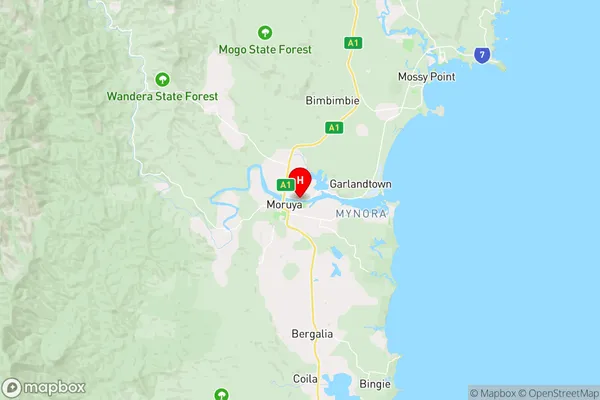
-35.9073095,150.0928052 (latitude/longitude)Moruya Area Map (Street)

Longitude
149.912199Latitude
-35.939649Moruya Elevation
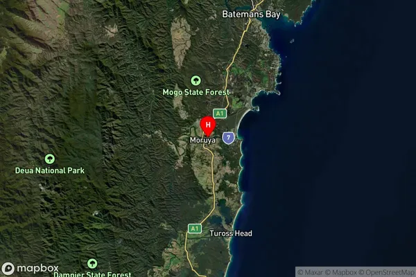
about 522.64 meters height above sea level (Altitude)Moruya Suburb Map (Satellite)

Distances
The distance from Moruya, Capital Region, NSW to AU Greater Capital CitiesSA1 Code 2011
10104102623SA1 Code 2016
10104102623SA2 Code
101041026SA3 Code
10104SA4 Code
101RA 2011
2RA 2016
2MMM 2015
5MMM 2019
5Charge Zone
N2LGA Region
EurobodallaLGA Code
12750Electorate
Gilmore