Cathcart Area, Cathcart Postcode(2632) & Map in Cathcart, Capital Region, NSW
Cathcart Area, Cathcart Postcode(2632) & Map in Cathcart, Capital Region, NSW, AU, Postcode: 2632
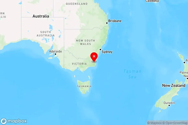
Cathcart, Bombala, Snowy Mountains, Capital Region, New South Wales, Australia, 2632
Cathcart Postcode
Area Name
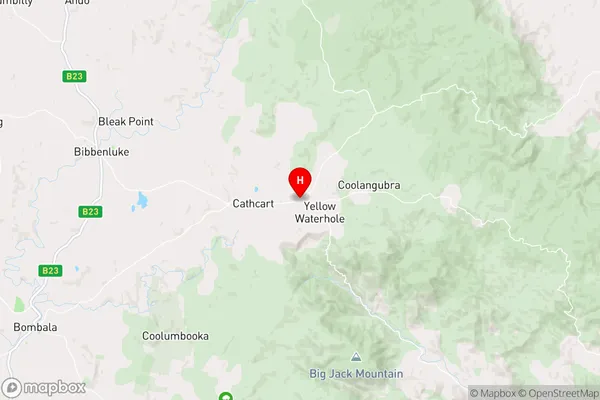
CathcartCathcart Suburb Area Map (Polygon)

Cathcart Introduction
Cathcart is a suburb of Sydney, in the state of New South Wales, Australia. It is located 5 kilometers south-west of the Sydney central business district and is part of the City of Canada Bay. The suburb is named after John Cathcart, a Scottish-born merchant who settled in the area in the 1830s. Cathcart is known for its historic homes and gardens, as well as its vibrant community spirit. It is home to a number of parks and recreational facilities, including the John McDouall Stuart Memorial Park and the Cathcart Reserve.State Name
City or Big Region
District or Regional Area
Suburb Name
Cathcart Region Map
Country
Main Region in AU
R3Coordinates
-36.8414908,149.4208182 (latitude/longitude)Cathcart Area Map (Street)
Longitude
149.220453Latitude
-37.020122Cathcart Elevation
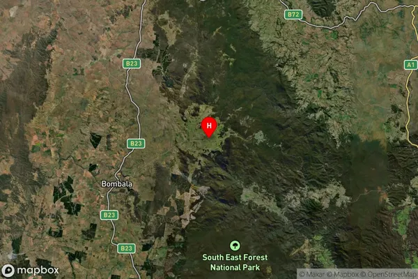
about 772.97 meters height above sea level (Altitude)Cathcart Suburb Map (Satellite)
Distances
The distance from Cathcart, Capital Region, NSW to AU Greater Capital CitiesSA1 Code 2011
10103101307SA1 Code 2016
10103101307SA2 Code
101031013SA3 Code
10103SA4 Code
101RA 2011
3RA 2016
3MMM 2015
5MMM 2019
5Charge Zone
N2LGA Region
Bega ValleyLGA Code
10550Electorate
Eden-Monaro