Nungatta Area, Nungatta Postcode(2632) & Map in Nungatta, Capital Region, NSW
Nungatta Area, Nungatta Postcode(2632) & Map in Nungatta, Capital Region, NSW, AU, Postcode: 2632
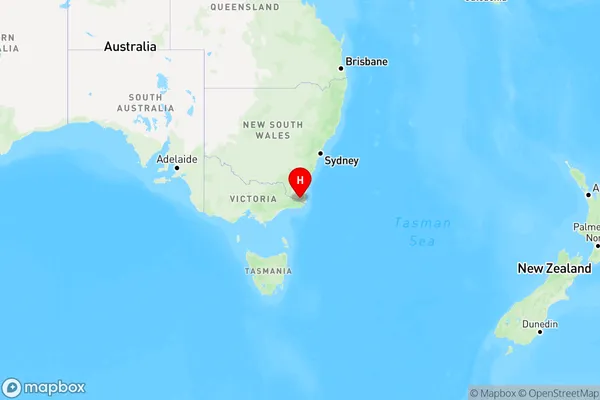
Nungatta, Bega-Eden Hinterland, South Coast, Capital Region, New South Wales, Australia, 2632
Nungatta Postcode
Area Name
NungattaNungatta Suburb Area Map (Polygon)

Nungatta Introduction
Nungatta is a small township in the Hunter Region of New South Wales, Australia. It is located in the Upper Hunter Shire and is situated about 25 kilometers south of Muswellbrook. The town has a population of around 1,000 people and is known for its coal mining industry. Nungatta is also home to the Nungatta Plains National Park, which covers an area of 1,200 square kilometers and is a significant conservation area for native flora and fauna.State Name
City or Big Region
District or Regional Area
Suburb Name
Nungatta Region Map
Country
Main Region in AU
R3Coordinates
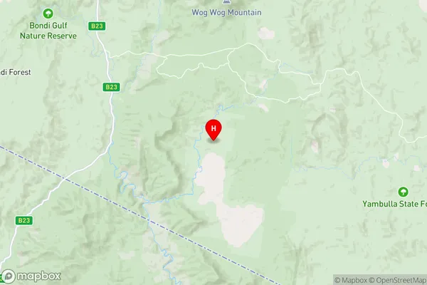
-37.2029,149.418 (latitude/longitude)Nungatta Area Map (Street)
Longitude
149.220453Latitude
-37.020122Nungatta Elevation
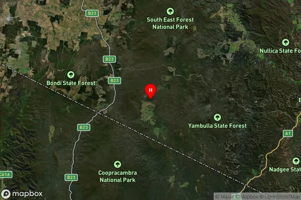
about 772.97 meters height above sea level (Altitude)Nungatta Suburb Map (Satellite)
Distances
The distance from Nungatta, Capital Region, NSW to AU Greater Capital CitiesSA1 Code 2011
10104102010SA1 Code 2016
10104102010SA2 Code
101041020SA3 Code
10104SA4 Code
101RA 2011
3RA 2016
3MMM 2015
5MMM 2019
5Charge Zone
N2LGA Region
Bega ValleyLGA Code
10550Electorate
Eden-Monaro