Lords Hill Area, Lords Hill Postcode(2632) & Map in Lords Hill, Capital Region, NSW
Lords Hill Area, Lords Hill Postcode(2632) & Map in Lords Hill, Capital Region, NSW, AU, Postcode: 2632
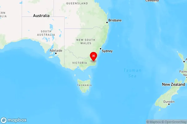
Lords Hill, Bombala, Snowy Mountains, Capital Region, New South Wales, Australia, 2632
Lords Hill Postcode
Area Name
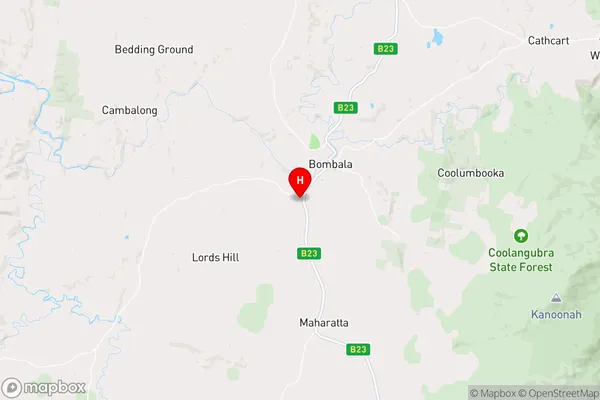
Lords HillLords Hill Suburb Area Map (Polygon)

Lords Hill Introduction
Lords Hill is a suburb in the City of Lake Macquarie of the Central Coast region of New South Wales, Australia. It is part of the Macquarie Hills Ward. It is named after the former Lords Hill Estate.State Name
City or Big Region
District or Regional Area
Suburb Name
Lords Hill Region Map
Country
Main Region in AU
R3Coordinates
-36.9310047,149.2180418 (latitude/longitude)Lords Hill Area Map (Street)
Longitude
149.220453Latitude
-37.020122Lords Hill Elevation
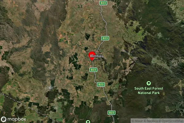
about 772.97 meters height above sea level (Altitude)Lords Hill Suburb Map (Satellite)
Distances
The distance from Lords Hill, Capital Region, NSW to AU Greater Capital CitiesSA1 Code 2011
10103101308SA1 Code 2016
10103101308SA2 Code
101031013SA3 Code
10103SA4 Code
101RA 2011
3RA 2016
3MMM 2015
5MMM 2019
5Charge Zone
N2LGA Region
Bega ValleyLGA Code
10550Electorate
Eden-Monaro