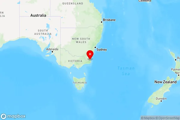
Devils Hole Area, Devils Hole Postcode(2550) & Map in Devils Hole, Capital Region, NSW
Devils Hole Area, Devils Hole Postcode(2550) & Map in Devils Hole, Capital Region, NSW, AU, Postcode: 2550
Devils Hole, Bega-Eden Hinterland, South Coast, Capital Region, New South Wales, Australia, 2550
Devils Hole Postcode
Area Name
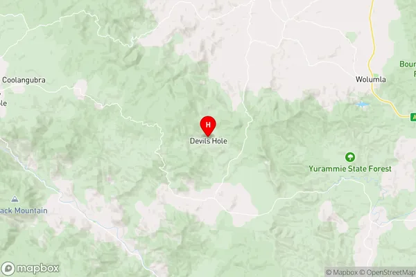
Devils HoleDevils Hole Suburb Area Map (Polygon)

Devils Hole Introduction
Devils Hole is a small town in the Central Tablelands of New South Wales, Australia. It is located in the Macarthur Shire and is a popular tourist destination for its natural hot springs and stunning scenery. The town is surrounded by lush forests and is home to a variety of wildlife, including kangaroos, wallabies, and echidnas. Visitors can enjoy hiking, swimming, and fishing in the nearby rivers and lakes, or simply relax in the hot springs and enjoy the peaceful surroundings.State Name
City or Big Region
District or Regional Area
Suburb Name
Devils Hole Region Map

Country
Main Region in AU
R3Coordinates
-36.8797627,149.6506842 (latitude/longitude)Devils Hole Area Map (Street)

Longitude
149.699222Latitude
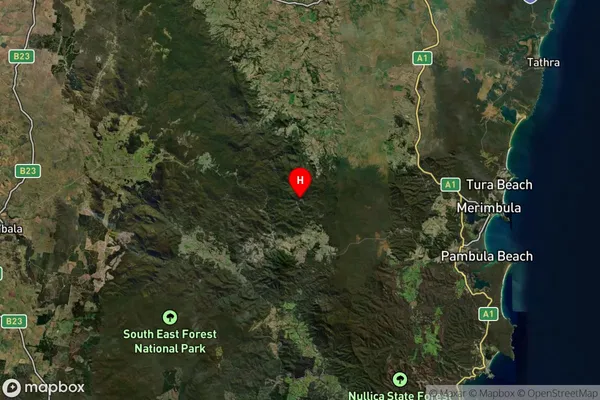
-36.737758Devils Hole Suburb Map (Satellite)

Distances
The distance from Devils Hole, Capital Region, NSW to AU Greater Capital CitiesSA1 Code 2011
10104102004SA1 Code 2016
10104102004SA2 Code
101041020SA3 Code
10104SA4 Code
101RA 2011
3RA 2016
3MMM 2015
5MMM 2019
5Charge Zone
N2LGA Region
Bega ValleyLGA Code
10550Electorate
Eden-Monaro