Nungatta South Area, Nungatta South Postcode(2551) & Map in Nungatta South, Capital Region, NSW
Nungatta South Area, Nungatta South Postcode(2551) & Map in Nungatta South, Capital Region, NSW, AU, Postcode: 2551
Nungatta South, Bega-Eden Hinterland, South Coast, Capital Region, New South Wales, Australia, 2551
Nungatta South Postcode
Area Name
Nungatta SouthNungatta South Suburb Area Map (Polygon)

Nungatta South Introduction
Nungatta South is a suburb in the Capital Region of New South Wales, Australia. It is located 12 kilometers south of the city of Wagga Wagga and is known for its agricultural industry. The suburb has a population of approximately 1,000 people and is home to several schools, including Nungatta Public School and Wagga Wagga High School.State Name
City or Big Region
District or Regional Area
Suburb Name
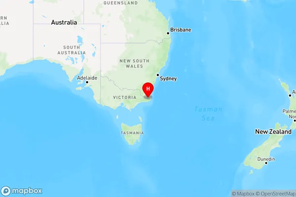
Nungatta South Region Map
Country
Main Region in AU
R3Coordinates
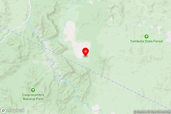
-37.2803,149.454 (latitude/longitude)Nungatta South Area Map (Street)
Longitude
149.4540223Latitude
-37.2802828Nungatta South Elevation
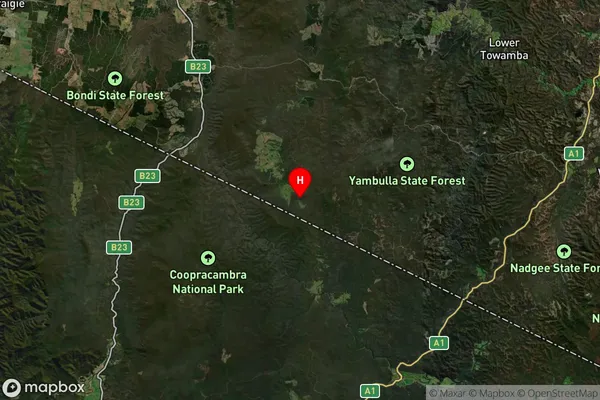
about 67.11 meters height above sea level (Altitude)Nungatta South Suburb Map (Satellite)
Distances
The distance from Nungatta South, Capital Region, NSW to AU Greater Capital CitiesSA1 Code 2011
10104102010SA1 Code 2016
10104102010SA2 Code
101041020SA3 Code
10104SA4 Code
101RA 2011
3RA 2016
3MMM 2015
5MMM 2019
5Charge Zone
N2LGA Region
Bega ValleyLGA Code
10550Electorate
Eden-Monaro