Bondi Forest Area, Bondi Forest Postcode(2632) & Map in Bondi Forest, Capital Region, NSW
Bondi Forest Area, Bondi Forest Postcode(2632) & Map in Bondi Forest, Capital Region, NSW, AU, Postcode: 2632
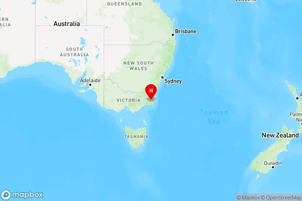
Bondi Forest, Bombala, Snowy Mountains, Capital Region, New South Wales, Australia, 2632
Bondi Forest Postcode
Area Name
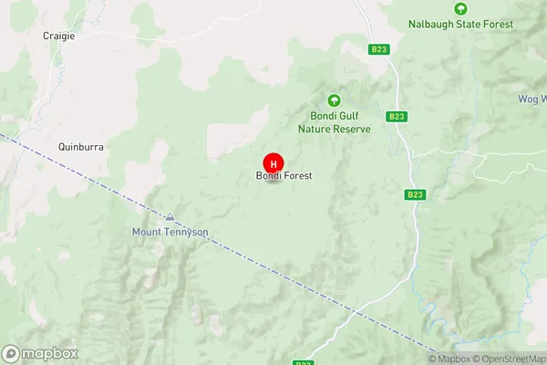
Bondi ForestBondi Forest Suburb Area Map (Polygon)

Bondi Forest Introduction
Bondi Forest is a suburb in the Eastern Suburbs of Sydney, in the state of New South Wales, Australia. It is located 10 kilometres east of the Sydney central business district and is part of the City of Canada Bay. Bondi Forest is known for its lush green parks, tree-lined streets, and vibrant community. It is home to a variety of residential properties, including apartments, townhouses, and detached houses. The suburb has a strong sense of community spirit and is popular with families, young professionals, and students. It is also home to several popular cafes, restaurants, and retail stores.State Name
City or Big Region
District or Regional Area
Suburb Name
Bondi Forest Region Map
Country
Main Region in AU
R3Coordinates
-37.1530147,149.2127611 (latitude/longitude)Bondi Forest Area Map (Street)
Longitude
149.220453Latitude
-37.020122Bondi Forest Elevation
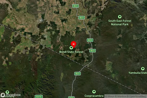
about 772.97 meters height above sea level (Altitude)Bondi Forest Suburb Map (Satellite)
Distances
The distance from Bondi Forest, Capital Region, NSW to AU Greater Capital CitiesSA1 Code 2011
10103101308SA1 Code 2016
10103101308SA2 Code
101031013SA3 Code
10103SA4 Code
101RA 2011
3RA 2016
3MMM 2015
5MMM 2019
5Charge Zone
N2LGA Region
Bega ValleyLGA Code
10550Electorate
Eden-Monaro