Cadgee Area, Cadgee Postcode(2545) & Map in Cadgee, Capital Region, NSW
Cadgee Area, Cadgee Postcode(2545) & Map in Cadgee, Capital Region, NSW, AU, Postcode: 2545
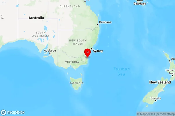
Cadgee, Eurobodalla Hinterland, South Coast, Capital Region, New South Wales, Australia, 2545
Cadgee Postcode
Area Name
CadgeeCadgee Suburb Area Map (Polygon)

Cadgee Introduction
Cadgee is a rural locality in the City of Lake Macquarie, New South Wales, Australia. It is located on the western side of the Hunter River, approximately 125 km north of Sydney. The area was originally inhabited by the Guringai people, and the name "Cadgee" is derived from their language. The town has a population of around 1,000 people and is known for its agricultural industry, including cotton farming and livestock breeding. Cadgee also has a historic railway station and a community hall.State Name
City or Big Region
District or Regional Area
Suburb Name
Cadgee Region Map

Country
Main Region in AU
R3Coordinates
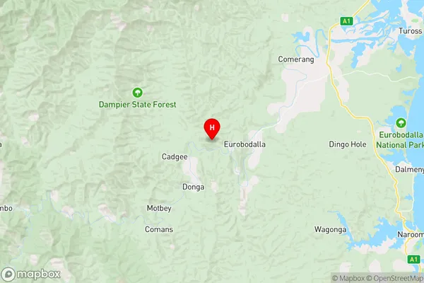
-36.1461852,149.936004 (latitude/longitude)Cadgee Area Map (Street)

Longitude
149.792292Latitude
-36.127663Cadgee Elevation
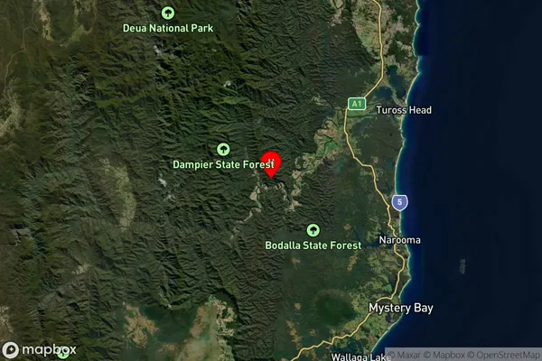
about 188.27 meters height above sea level (Altitude)Cadgee Suburb Map (Satellite)

Distances
The distance from Cadgee, Capital Region, NSW to AU Greater Capital CitiesSA1 Code 2011
10104102410SA1 Code 2016
10104102410SA2 Code
101041024SA3 Code
10104SA4 Code
101RA 2011
3RA 2016
3MMM 2015
5MMM 2019
5Charge Zone
N2LGA Region
EurobodallaLGA Code
12750Electorate
Eden-Monaro