Rockton Area, Rockton Postcode(2632) & Map in Rockton, Capital Region, NSW
Rockton Area, Rockton Postcode(2632) & Map in Rockton, Capital Region, NSW, AU, Postcode: 2632
Rockton, Bombala, Snowy Mountains, Capital Region, New South Wales, Australia, 2632
Rockton Postcode
Area Name
RocktonRockton Suburb Area Map (Polygon)

Rockton Introduction
Rockton is a suburb of the City of Shoalhaven in the Illawarra region of New South Wales, Australia. It is located about 35 km south of Nowra and 228 km south of Sydney. Rockton is known for its beautiful beaches, lush forests, and peaceful atmosphere. It is a popular destination for tourists and locals alike, with many attractions and activities to enjoy.State Name
City or Big Region
District or Regional Area
Suburb Name
Rockton Region Map

Country
Main Region in AU
R3Coordinates
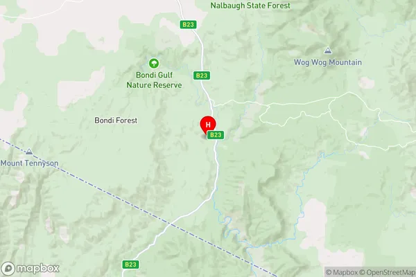
-37.1632048,149.3118759 (latitude/longitude)Rockton Area Map (Street)
Longitude
149.220453Latitude
-37.020122Rockton Elevation
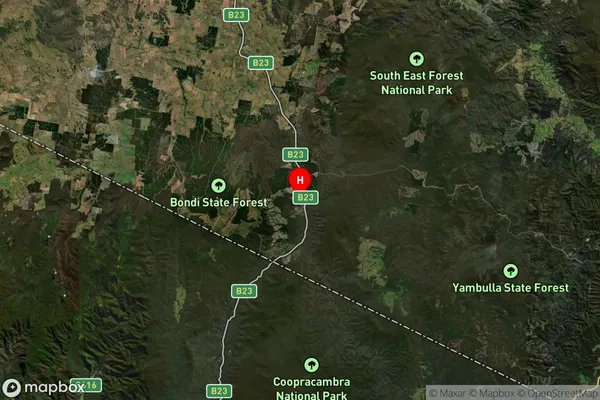
about 772.97 meters height above sea level (Altitude)Rockton Suburb Map (Satellite)
Distances
The distance from Rockton, Capital Region, NSW to AU Greater Capital CitiesSA1 Code 2011
10103101308SA1 Code 2016
10103101308SA2 Code
101031013SA3 Code
10103SA4 Code
101RA 2011
3RA 2016
3MMM 2015
5MMM 2019
5Charge Zone
N2LGA Region
Bega ValleyLGA Code
10550Electorate
Eden-Monaro