Broulee Tomakin Suburbs & Region, Broulee Tomakin Map & Postcodes
Broulee Tomakin Suburbs & Region, Broulee Tomakin Map & Postcodes in Broulee Tomakin, South Coast, Capital Region, NSW, AU
Broulee Tomakin Region
Region Name
Broulee Tomakin (NSW, AU)Broulee Tomakin Area
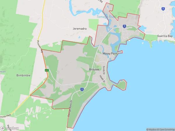
24.23 square kilometers (24.23 ㎢)Broulee Tomakin Introduction
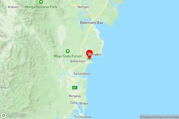
Broulee Tomakin is a locality in the South Coast region of New South Wales, Australia. It is located about 225 kilometers south of Sydney and 35 kilometers southeast of Batemans Bay. The area is known for its stunning coastal scenery, including the Broulee National Park, which covers over 2,000 hectares of land and sea. The town has a population of around 2,000 people and is a popular destination for tourists and outdoor enthusiasts. The area is home to a variety of wildlife, including kangaroos, wallabies, and echidnas. Broulee Tomakin is also known for its fishing industry, with a number of fishing spots and charters operating in the area. The town has a number of cafes, restaurants, and shops, as well as a community hall and a golf course.Australia State
City or Big Region
Greater Capital City
Rest of NSW (1RNSW)District or Regional Area
Suburb Name
Broulee Tomakin Region Map

Broulee Tomakin Suburbs
Broulee Tomakin full address
Broulee Tomakin, South Coast, Capital Region, New South Wales, NSW, Australia, SaCode: 101041021Country
Broulee Tomakin, South Coast, Capital Region, New South Wales, NSW, Australia, SaCode: 101041021
Broulee Tomakin Suburbs & Region, Broulee Tomakin Map & Postcodes has 0 areas or regions above, and there are 0 Broulee Tomakin suburbs below. The sa2code for the Broulee Tomakin region is 101041021. Its latitude and longitude coordinates are -35.8454,150.169. Broulee Tomakin area belongs to Australia's greater capital city Rest of NSW.
