Otautau Suburbs & Region, Otautau Map & Postcodes in Otautau, Southland, Southland
Otautau Postcodes, Otautau ZipCodes, Otautau , Otautau Southland, Otautau Suburbs, Otautau Region, Otautau Map, Otautau Area
Otautau Region
Otautau Suburbs
Otautau is a city place type in Southland, Southland, NZ. It contains 2 suburbs or localities.Otautau district
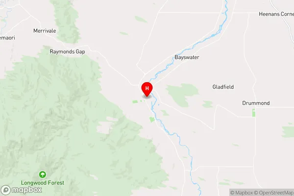
SouthlandOtautau Region Map
Otautau Introduction
Otautau is a small town in Southland, New Zealand, located on the Otago Central Rail Trail. It is known for its historic buildings, including the Otautau Hotel, which was built in 1879. The town also has a variety of outdoor activities, such as hiking, skiing, and fishing, and is surrounded by stunning scenery, including the Southern Alps and the Otago Peninsula.Otautau Region
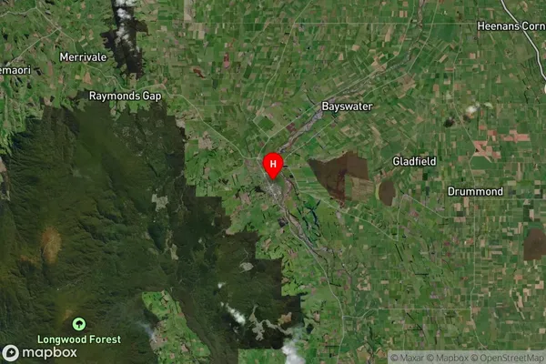
Otautau Satellite Map
Full Address
Otautau, Southland, SouthlandOtautau Coordinates
-46.13985,167.998937 (Latitude / Longitude)Otautau Map in NZ
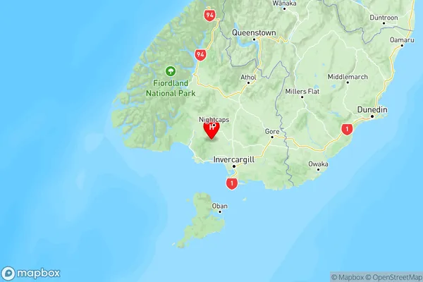
NZ Island
South IslandCountry
Otautau Suburbs (Sort by Population)
Otautau Suburbs (Sort in alphabetical)
Eastern Bush
Fairfax